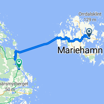


Bryggvägen 6–20, Bomarsund to Getabergsvägen,
- 47.3 km
- 334 m
- 261 m
- Sund, Ålands landsbygd, Åland Islands
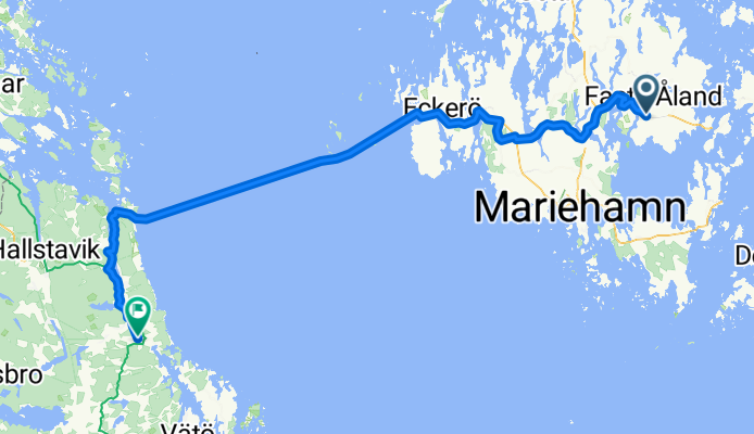
From Riga to Stockholm Metropolitan Area
A cycling route starting in Sund, Ålands landsbygd, Åland Islands.
Overview
created this 3 months ago
Part of
Route quality
Cycleway
75.8 km
(66 %)
Road
23 km
(20 %)
Paved
51.7 km
(45 %)
Unpaved
6.9 km
(6 %)
Asphalt
37.9 km
(33 %)
Paved (undefined)
13.8 km
(12 %)
Continue with Bikemap
You would like to ride Sund - Hallstavik or customize it for your own trip? Here is what you can do with this Bikemap route:
Free trial for 3 days, or one-time payment. More about Bikemap Premium.
Discover more Premium features.
Get Bikemap PremiumFrom our community
Open it in the app