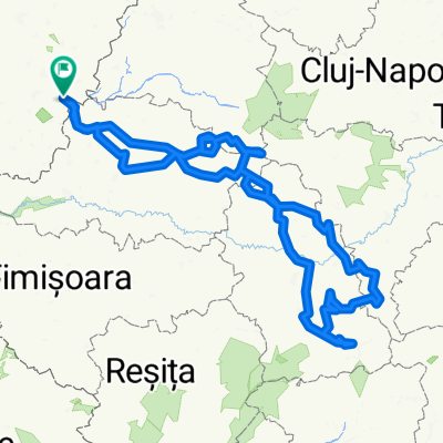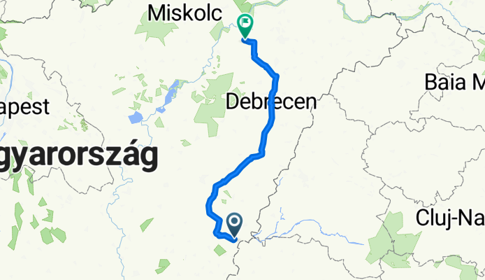

Route to Kabay János utca
- 210.6 km
- 160 m
- 151 m
- Gyula, Bekes County, Hungary
A cycling route starting in Gyula, Bekes County, Hungary.
Overview
created this 3 months ago
Route quality
Cycleway
107.4 km
(51 %)
Track
48.4 km
(23 %)
Paved
124.3 km
(59 %)
Unpaved
4.2 km
(2 %)
Asphalt
124.3 km
(59 %)
Ground
2.1 km
(1 %)
Continue with Bikemap
You would like to ride Route to Kabay János utca or customize it for your own trip? Here is what you can do with this Bikemap route:
Free trial for 3 days, or one-time payment. More about Bikemap Premium.
Discover more Premium features.
Get Bikemap PremiumFrom our community
Open it in the app