
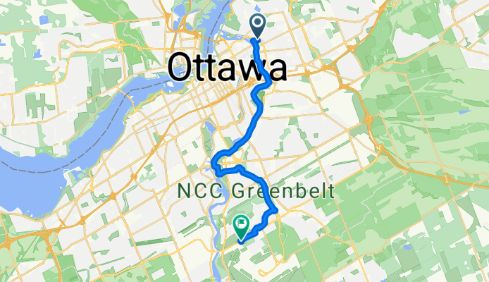
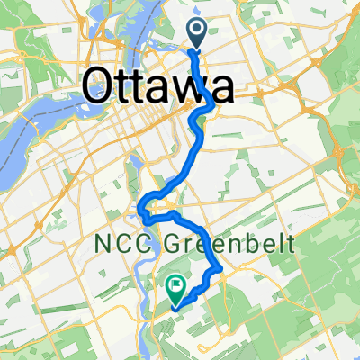
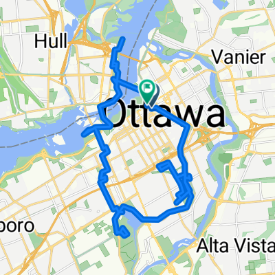
Denise to Hogs Back to Sante
A cycling route starting in Ottawa, Ontario, Canada.
Overview
About this route
- 1 h 2 min
- Duration
- 18.3 km
- Distance
- 96 m
- Ascent
- 52 m
- Descent
- 17.6 km/h
- Avg. speed
- 107 m
- Max. altitude

Route quality
Waytypes & surfaces along the route
Waytypes
Cycleway
13.3 km
(73 %)
Quiet road
1.8 km
(10 %)
Surfaces
Paved
17.7 km
(97 %)
Asphalt
17.7 km
(97 %)
Undefined
0.5 km
(3 %)
Continue with Bikemap
Use, edit, or download this cycling route
You would like to ride Denise to Hogs Back to Sante or customize it for your own trip? Here is what you can do with this Bikemap route:
Free features
- Save this route as favorite or in collections
- Copy & plan your own version of this route
- Sync your route with Garmin or Wahoo
Premium features
Free trial for 3 days, or one-time payment. More about Bikemap Premium.
- Navigate this route on iOS & Android
- Export a GPX / KML file of this route
- Create your custom printout (try it for free)
- Download this route for offline navigation
Discover more Premium features.
Get Bikemap PremiumFrom our community
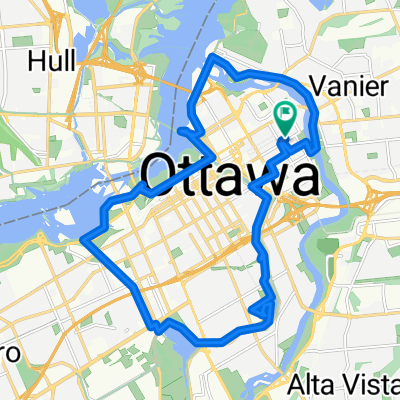
Other popular routes starting in Ottawa
 Denise to Hogs Back to Sante
- Distance
- 18.3 km
- Ascent
- 96 m
- Descent
- 52 m
- Location
- Ottawa, Ontario, Canada
 09/27/25 First ride w/new Black Como Turbo 4.0
- Distance
- 22.4 km
- Ascent
- 1,299 m
- Descent
- 1,299 m
- Location
- Ottawa, Ontario, Canada
 Riverside Park, Ottawa to Portland Ave, Ottawa
- Distance
- 31.4 km
- Ascent
- 220 m
- Descent
- 181 m
- Location
- Ottawa, Ontario, Canada
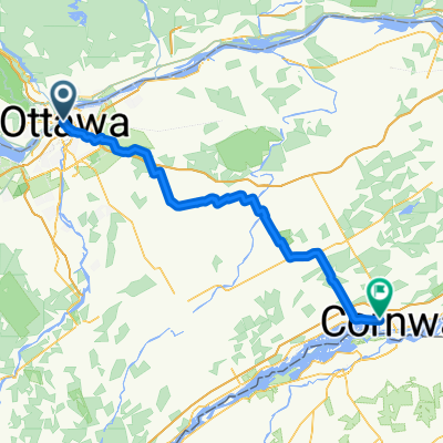 Day10 Ottawa to Cornwall
- Distance
- 106.5 km
- Ascent
- 263 m
- Descent
- 260 m
- Location
- Ottawa, Ontario, Canada
 Steady ride in Gatineau
- Distance
- 35.6 km
- Ascent
- 200 m
- Descent
- 203 m
- Location
- Ottawa, Ontario, Canada
 Trails edge Orleans-Prescott Rusell trail
- Distance
- 22.3 km
- Ascent
- 49 m
- Descent
- 38 m
- Location
- Ottawa, Ontario, Canada
 Ottawa rideau canal and sites
- Distance
- 26.5 km
- Ascent
- 210 m
- Descent
- 209 m
- Location
- Ottawa, Ontario, Canada
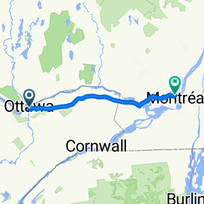 Rue Cartier, Ottawa à Rue Louis-Hémon, Montréal
- Distance
- 187.6 km
- Ascent
- 497 m
- Descent
- 513 m
- Location
- Ottawa, Ontario, Canada
Open it in the app