
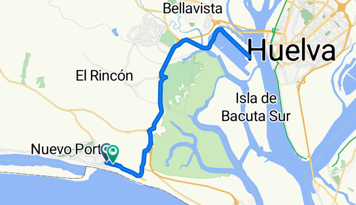
De Urbanización Agua Dulce a Avenida de Punta Umbria
A cycling route starting in Aljaraque, Andalusia, Spain.
Overview
About this route
- 1 h 12 min
- Duration
- 27 km
- Distance
- 104 m
- Ascent
- 152 m
- Descent
- 22.5 km/h
- Avg. speed
- 63 m
- Max. altitude
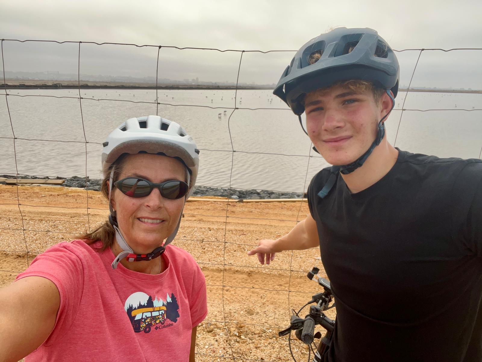
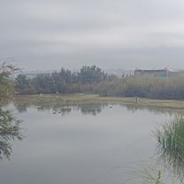
Route photos


Route quality
Waytypes & surfaces along the route
Waytypes
Cycleway
25.3 km
(94 %)
Quiet road
1.4 km
(5 %)
Surfaces
Paved
26.7 km
(99 %)
Asphalt
26.6 km
(99 %)
Paving stones
0.1 km
(<1 %)
Undefined
0.3 km
(1 %)
Continue with Bikemap
Use, edit, or download this cycling route
You would like to ride De Urbanización Agua Dulce a Avenida de Punta Umbria or customize it for your own trip? Here is what you can do with this Bikemap route:
Free features
- Save this route as favorite or in collections
- Copy & plan your own version of this route
- Sync your route with Garmin or Wahoo
Premium features
Free trial for 3 days, or one-time payment. More about Bikemap Premium.
- Navigate this route on iOS & Android
- Export a GPX / KML file of this route
- Create your custom printout (try it for free)
- Download this route for offline navigation
Discover more Premium features.
Get Bikemap PremiumFrom our community
Other popular routes starting in Aljaraque
 De Urb. Playas Del Sur, Laguna de El Portil a Urbanización la Dorada 1, El Portil
- Distance
- 12 km
- Ascent
- 43 m
- Descent
- 46 m
- Location
- Aljaraque, Andalusia, Spain
 PINOS DE ALJARAQUE Y CARTAYA
- Distance
- 56.3 km
- Ascent
- 155 m
- Descent
- 155 m
- Location
- Aljaraque, Andalusia, Spain
 ALJARAQUE -EL TERRON-LA ANTILLA- ALJARAQUE
- Distance
- 83.9 km
- Ascent
- 231 m
- Descent
- 222 m
- Location
- Aljaraque, Andalusia, Spain
 ALJARAQUE- EL GRANADO- ALJARAQUE
- Distance
- 59.8 km
- Ascent
- 308 m
- Descent
- 197 m
- Location
- Aljaraque, Andalusia, Spain
 De Urbanización Agua Dulce a Avenida de Punta Umbria
- Distance
- 27 km
- Ascent
- 104 m
- Descent
- 152 m
- Location
- Aljaraque, Andalusia, Spain
 De Calle Colibrí 18, El Portil a Calle Mariposa 87, El Portil
- Distance
- 10.2 km
- Ascent
- 31 m
- Descent
- 33 m
- Location
- Aljaraque, Andalusia, Spain
 De Avenida Cristóbal Colón, Cartaya a Avenida Costa de la Luz, 19–27, Huelva
- Distance
- 17.8 km
- Ascent
- 10 m
- Descent
- 35 m
- Location
- Aljaraque, Andalusia, Spain
 De Ronda de los Pájaros 6, El Portil a Urbanización la Dorada 1, El Portil
- Distance
- 12.3 km
- Ascent
- 55 m
- Descent
- 62 m
- Location
- Aljaraque, Andalusia, Spain
Open it in the app