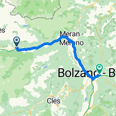
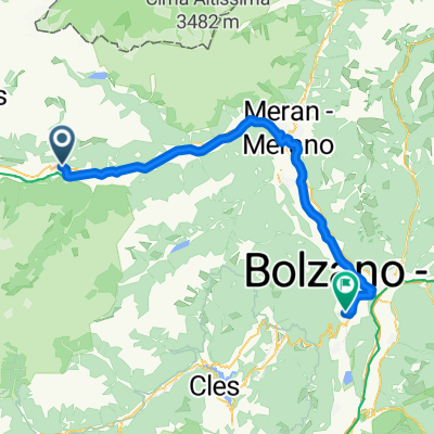
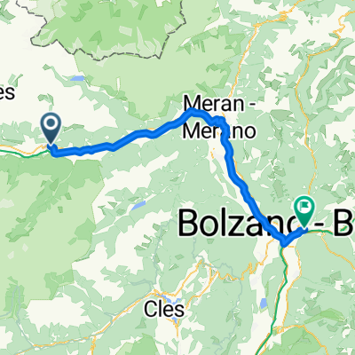
Etsch Schlanders-Meran
- 37.3 km
- 142 m
- 548 m
- Schlanders, Trentino-Alto Adige, Italy
Von Füssen bis Nauders
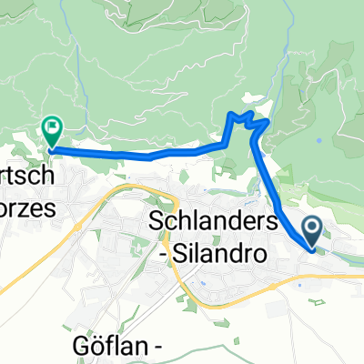
A cycling route starting in Schlanders, Trentino-Alto Adige, Italy.
Overview
created this 3 months ago
Part of
16 stages
Route quality
Cycleway
45.5 km
(66 %)
Path
11 km
(16 %)
Paved
67.6 km
(98 %)
Asphalt
67.6 km
(98 %)
Undefined
1.4 km
(2 %)
Continue with Bikemap
You would like to ride Von Nauders bis Meran or customize it for your own trip? Here is what you can do with this Bikemap route:
Free trial for 3 days, or one-time payment. More about Bikemap Premium.
Discover more Premium features.
Get Bikemap PremiumFrom our community
Open it in the app