
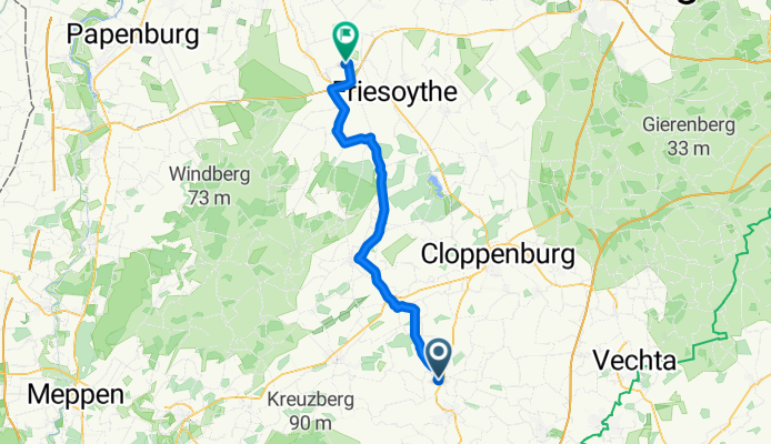
Essen (OL) -> saterland
A cycling route starting in Essen, Lower Saxony, Germany.
Overview
About this route
- 48 min
- Duration
- 53.9 km
- Distance
- 334 m
- Ascent
- 392 m
- Descent
- 67.9 km/h
- Avg. speed
- 68 m
- Max. altitude
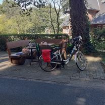
Route photos
 -> saterland\"")
Route quality
Waytypes & surfaces along the route
Waytypes
Path
38.8 km
(72 %)
Quiet road
5.4 km
(10 %)
Surfaces
Paved
42 km
(78 %)
Asphalt
41.5 km
(77 %)
Paved (undefined)
0.5 km
(1 %)
Undefined
11.9 km
(22 %)
Continue with Bikemap
Use, edit, or download this cycling route
You would like to ride Essen (OL) -> saterland or customize it for your own trip? Here is what you can do with this Bikemap route:
Free features
- Save this route as favorite or in collections
- Copy & plan your own version of this route
- Sync your route with Garmin or Wahoo
Premium features
Free trial for 3 days, or one-time payment. More about Bikemap Premium.
- Navigate this route on iOS & Android
- Export a GPX / KML file of this route
- Create your custom printout (try it for free)
- Download this route for offline navigation
Discover more Premium features.
Get Bikemap PremiumFrom our community
Other popular routes starting in Essen
 Essen (OL) -> saterland
- Distance
- 53.9 km
- Ascent
- 334 m
- Descent
- 392 m
- Location
- Essen, Lower Saxony, Germany
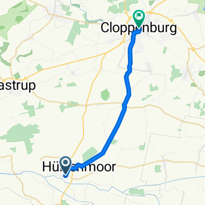 Essen Cloppenburg
- Distance
- 18.1 km
- Ascent
- 43 m
- Descent
- 31 m
- Location
- Essen, Lower Saxony, Germany
 Eichenallee 3, Essen (Oldenburg) nach Eichenallee 3, Essen (Oldenburg)
- Distance
- 21.4 km
- Ascent
- 0 m
- Descent
- 22 m
- Location
- Essen, Lower Saxony, Germany
 8 Essen über Bakum nach Lutten
- Distance
- 32.7 km
- Ascent
- 31 m
- Descent
- 23 m
- Location
- Essen, Lower Saxony, Germany
 Sonntag 11.08.2013
- Distance
- 33.8 km
- Ascent
- 71 m
- Descent
- 72 m
- Location
- Essen, Lower Saxony, Germany
 Sommertour 2019_2
- Distance
- 13.1 km
- Ascent
- 20 m
- Descent
- 22 m
- Location
- Essen, Lower Saxony, Germany
 00013
00013- Distance
- 32 km
- Ascent
- 155 m
- Descent
- 161 m
- Location
- Essen, Lower Saxony, Germany
 Annegrets erste Route
- Distance
- 19.7 km
- Ascent
- 37 m
- Descent
- 37 m
- Location
- Essen, Lower Saxony, Germany
Open it in the app