
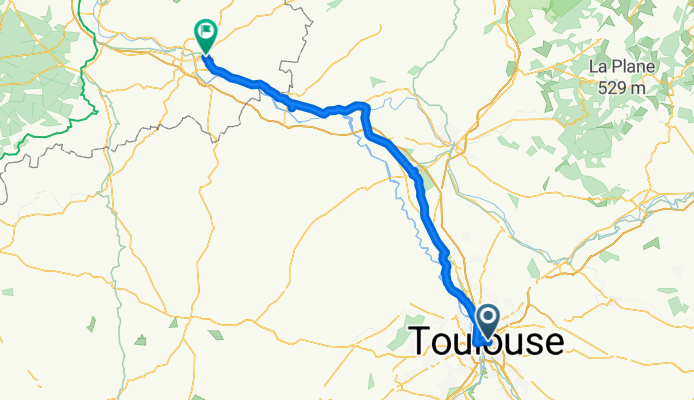
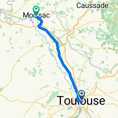
Overview
About this route
- 6 h 48 min
- Duration
- 115.7 km
- Distance
- 0 m
- Ascent
- 94 m
- Descent
- 17 km/h
- Avg. speed
- 147 m
- Max. altitude

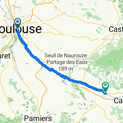
Part of
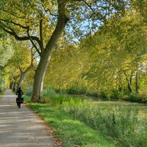
Canal de la Garonne
5 stages
Route quality
Waytypes & surfaces along the route
Waytypes
Cycleway
67.1 km
(58 %)
Path
15 km
(13 %)
Surfaces
Paved
84.5 km
(73 %)
Unpaved
9.3 km
(8 %)
Asphalt
55.6 km
(48 %)
Paved (undefined)
28.9 km
(25 %)
Continue with Bikemap
Use, edit, or download this cycling route
You would like to ride Toulouse - Agen or customize it for your own trip? Here is what you can do with this Bikemap route:
Free features
- Save this route as favorite or in collections
- Copy & plan your own version of this route
- Split it into stages to create a multi-day tour
- Sync your route with Garmin or Wahoo
Premium features
Free trial for 3 days, or one-time payment. More about Bikemap Premium.
- Navigate this route on iOS & Android
- Export a GPX / KML file of this route
- Create your custom printout (try it for free)
- Download this route for offline navigation
Discover more Premium features.
Get Bikemap PremiumFrom our community
Other popular routes starting in Toulouse
 Toulouse - Labastide-Rouairoux
- Distance
- 106.1 km
- Ascent
- 753 m
- Descent
- 714 m
- Location
- Toulouse, Occitanie, France
 10.10.25 Toulouse Castelnaudary
- Distance
- 73 km
- Ascent
- 134 m
- Descent
- 164 m
- Location
- Toulouse, Occitanie, France
 Place Saint-Barthélemy, Labège to Impasse Moulive, Toulouse
- Distance
- 13.8 km
- Ascent
- 59 m
- Descent
- 51 m
- Location
- Toulouse, Occitanie, France
 Rue de l'Orient, Toulouse to Rue du Pont, Moissac
- Distance
- 71.6 km
- Ascent
- 60 m
- Descent
- 140 m
- Location
- Toulouse, Occitanie, France
 Toulouse - Bram
- Distance
- 77.9 km
- Ascent
- 296 m
- Descent
- 328 m
- Location
- Toulouse, Occitanie, France
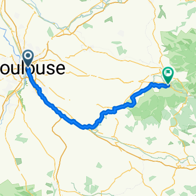
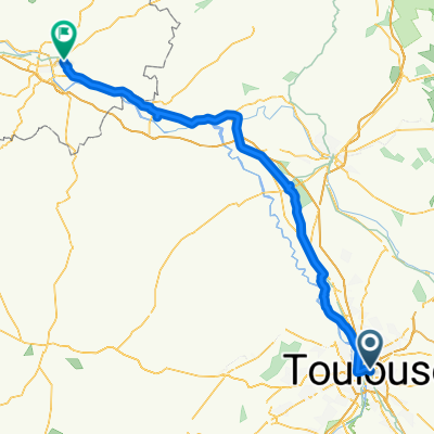 Toulouse - Agen
- Distance
- 115.7 km
- Ascent
- 0 m
- Descent
- 94 m
- Location
- Toulouse, Occitanie, France
 Canal du midi
- Distance
- 242.7 km
- Ascent
- 116 m
- Descent
- 241 m
- Location
- Toulouse, Occitanie, France
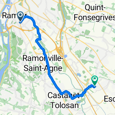
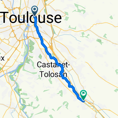 Toulouse / Montgiscard
- Distance
- 21 km
- Ascent
- 40 m
- Descent
- 31 m
- Location
- Toulouse, Occitanie, France
Open it in the app