
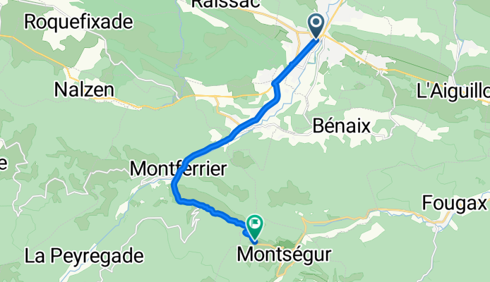
Col de Montségur (por Lavelanet)
A cycling route starting in Lavelanet, Occitanie, France.
Overview
About this route
The Col de Montségur (1055 m), located in the French Pyrenees in the Ariège region, is a pass steeped in history and symbolism. Crowned by the famous Cathar castle of Montségur, it offers a unique setting where nature, heritage, and cycling come together.
- 46 min
- Duration
- 10.9 km
- Distance
- 588 m
- Ascent
- 52 m
- Descent
- 14.3 km/h
- Avg. speed
- 1,065 m
- Max. altitude

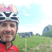
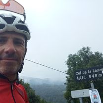
Route photos
\"")
Route quality
Waytypes & surfaces along the route
Surfaces
Paved
0.4 km
(4 %)
Asphalt
0.4 km
(4 %)
Undefined
10.5 km
(96 %)
Continue with Bikemap
Use, edit, or download this cycling route
You would like to ride Col de Montségur (por Lavelanet) or customize it for your own trip? Here is what you can do with this Bikemap route:
Free features
- Save this route as favorite or in collections
- Copy & plan your own version of this route
- Sync your route with Garmin or Wahoo
Premium features
Free trial for 3 days, or one-time payment. More about Bikemap Premium.
- Navigate this route on iOS & Android
- Export a GPX / KML file of this route
- Create your custom printout (try it for free)
- Download this route for offline navigation
Discover more Premium features.
Get Bikemap PremiumFrom our community
Other popular routes starting in Lavelanet
 Pyrenäen 2000 Etappe 15
- Distance
- 87 km
- Ascent
- 1,042 m
- Descent
- 1,416 m
- Location
- Lavelanet, Occitanie, France
 Lavelanet-Boucle 120Km
- Distance
- 120.3 km
- Ascent
- 617 m
- Descent
- 617 m
- Location
- Lavelanet, Occitanie, France
 CC Etapa 03 MONTSÉGUR a PUIVERT
- Distance
- 47 km
- Ascent
- 573 m
- Descent
- 889 m
- Location
- Lavelanet, Occitanie, France
 Lavelanet-Boucle 68Km
- Distance
- 67.8 km
- Ascent
- 546 m
- Descent
- 546 m
- Location
- Lavelanet, Occitanie, France
 Col de Montségur (por Lavelanet)
- Distance
- 10.9 km
- Ascent
- 588 m
- Descent
- 52 m
- Location
- Lavelanet, Occitanie, France
 COL DE LA LAUZE (por Lavelanet)
- Distance
- 11 km
- Ascent
- 485 m
- Descent
- 69 m
- Location
- Lavelanet, Occitanie, France
 Etape 5 : Levelanet - Ax-Les-Thermes via Montsegur
- Distance
- 74.7 km
- Ascent
- 2,473 m
- Descent
- 2,273 m
- Location
- Lavelanet, Occitanie, France
 F/Villeneuve-Espezel-Montsegur-ret
- Distance
- 88.1 km
- Ascent
- 1,292 m
- Descent
- 1,293 m
- Location
- Lavelanet, Occitanie, France
Open it in the app