
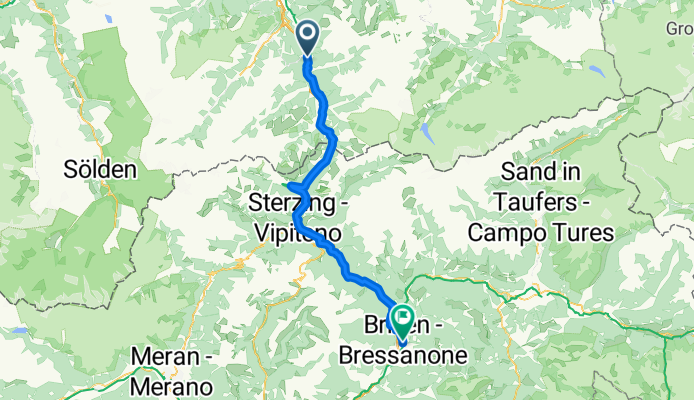
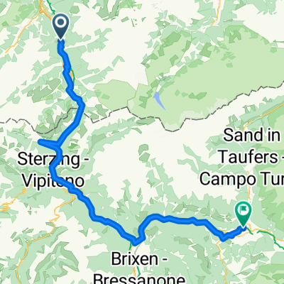
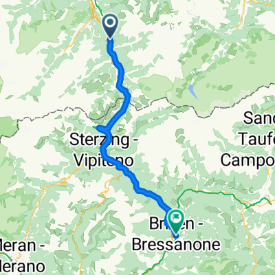
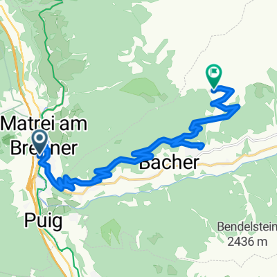
Mühlbachl - Völs am Schlern
A cycling route starting in Mühlbachl, Tyrol, Austria.
Overview
About this route
- 4 h 34 min
- Duration
- 71.1 km
- Distance
- 1,566 m
- Ascent
- 1,989 m
- Descent
- 15.5 km/h
- Avg. speed
- 1,389 m
- Max. altitude
Route quality
Waytypes & surfaces along the route
Waytypes
Cycleway
27 km
(38 %)
Quiet road
14.9 km
(21 %)
Surfaces
Paved
60.4 km
(85 %)
Unpaved
5 km
(7 %)
Asphalt
59.7 km
(84 %)
Gravel
2.8 km
(4 %)
Continue with Bikemap
Use, edit, or download this cycling route
You would like to ride Mühlbachl - Völs am Schlern or customize it for your own trip? Here is what you can do with this Bikemap route:
Free features
- Save this route as favorite or in collections
- Copy & plan your own version of this route
- Sync your route with Garmin or Wahoo
Premium features
Free trial for 3 days, or one-time payment. More about Bikemap Premium.
- Navigate this route on iOS & Android
- Export a GPX / KML file of this route
- Create your custom printout (try it for free)
- Download this route for offline navigation
Discover more Premium features.
Get Bikemap PremiumFrom our community
Other popular routes starting in Mühlbachl
 Gossensass - Bruneck
- Distance
- 99.1 km
- Ascent
- 2,506 m
- Descent
- 2,662 m
- Location
- Mühlbachl, Tyrol, Austria
 Mühlbachl - Völs am Schlern
- Distance
- 71.1 km
- Ascent
- 1,566 m
- Descent
- 1,989 m
- Location
- Mühlbachl, Tyrol, Austria
 Mühlbachl - Völs am Schlern
- Distance
- 71.1 km
- Ascent
- 1,566 m
- Descent
- 1,989 m
- Location
- Mühlbachl, Tyrol, Austria
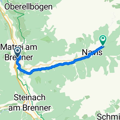
 Matrei - Brixen
- Distance
- 79.9 km
- Ascent
- 1,268 m
- Descent
- 1,384 m
- Location
- Mühlbachl, Tyrol, Austria
 534-mountainbike-naviser-bachweg
- Distance
- 10.6 km
- Ascent
- 414 m
- Descent
- 10 m
- Location
- Mühlbachl, Tyrol, Austria
 532_mountainbike_mislalm_79824052
- Distance
- 14.4 km
- Ascent
- 1,170 m
- Descent
- 151 m
- Location
- Mühlbachl, Tyrol, Austria
Open it in the app