
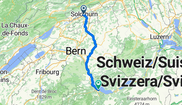
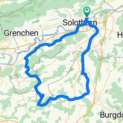
Route von Solothurn
A cycling route starting in Solothurn, Canton of Solothurn, Switzerland.
Overview
About this route
- 4 h 46 min
- Duration
- 78.7 km
- Distance
- 661 m
- Ascent
- 467 m
- Descent
- 16.5 km/h
- Avg. speed
- 708 m
- Max. altitude

Route quality
Waytypes & surfaces along the route
Waytypes
Quiet road
50.3 km
(64 %)
Track
11 km
(14 %)
Surfaces
Paved
44 km
(56 %)
Unpaved
9.4 km
(12 %)
Asphalt
37.8 km
(48 %)
Paved (undefined)
6.3 km
(8 %)
Continue with Bikemap
Use, edit, or download this cycling route
You would like to ride Route von Solothurn or customize it for your own trip? Here is what you can do with this Bikemap route:
Free features
- Save this route as favorite or in collections
- Copy & plan your own version of this route
- Sync your route with Garmin or Wahoo
Premium features
Free trial for 3 days, or one-time payment. More about Bikemap Premium.
- Navigate this route on iOS & Android
- Export a GPX / KML file of this route
- Create your custom printout (try it for free)
- Download this route for offline navigation
Discover more Premium features.
Get Bikemap PremiumFrom our community
Other popular routes starting in Solothurn
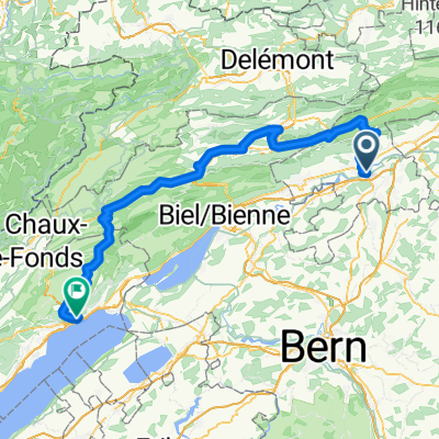 Solothurn - Neuchatel
- Distance
- 102 km
- Ascent
- 2,646 m
- Descent
- 2,602 m
- Location
- Solothurn, Canton of Solothurn, Switzerland
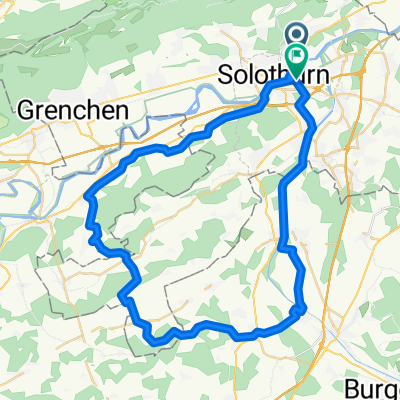 Von Feldbrunnen-Sankt Niklaus bis Zuchwil
- Distance
- 53.6 km
- Ascent
- 639 m
- Descent
- 638 m
- Location
- Solothurn, Canton of Solothurn, Switzerland
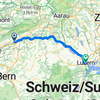
 Solothurn - Lauffohr (Brugg)
- Distance
- 81 km
- Ascent
- 525 m
- Descent
- 604 m
- Location
- Solothurn, Canton of Solothurn, Switzerland
 Solothurn - Schnottwil Okt. 2025
- Distance
- 23.9 km
- Ascent
- 125 m
- Descent
- 69 m
- Location
- Solothurn, Canton of Solothurn, Switzerland
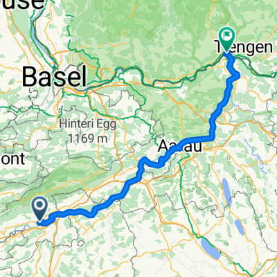 Solothurn - Lauffohr (Brugg)
- Distance
- 100 km
- Ascent
- 695 m
- Descent
- 799 m
- Location
- Solothurn, Canton of Solothurn, Switzerland
 Kapuzinerstrasse 25, Solothurn nach Tannenstrasse 2, Riedholz
- Distance
- 31.7 km
- Ascent
- 985 m
- Descent
- 977 m
- Location
- Solothurn, Canton of Solothurn, Switzerland
 Route von Sandmattstrasse
- Distance
- 59.6 km
- Ascent
- 666 m
- Descent
- 654 m
- Location
- Solothurn, Canton of Solothurn, Switzerland
 Kreuzgasse nach Buobenmatt
- Distance
- 79.8 km
- Ascent
- 429 m
- Descent
- 418 m
- Location
- Solothurn, Canton of Solothurn, Switzerland
Open it in the app