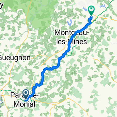
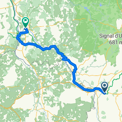
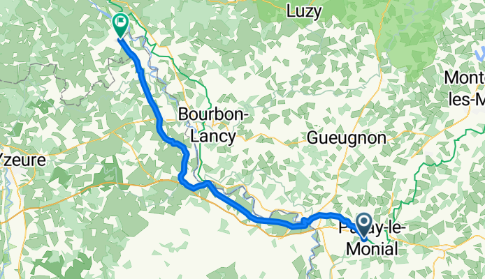
Rue de la Saulaie, Les Roches-de-Condrieu à Place Édouard VII, Le Touquet-Paris-Plage

Paray-le-Monial - Lucenay-lès-Aix

A cycling route starting in Paray-le-Monial, Bourgogne-Franche-Comté, France.
OverviewAbout this route
3 h 54 min
Duration
67.3 km
Distance
110 m
Ascent
162 m
Descent
17.3 km/h
Avg. speed
254 m
Max. altitude
bikemapuser5260891589596225created this 7 months ago
Route qualityWaytypes & surfaces along the route
Waytypes
  • Path

    36.3 km54 %
  • Quiet road

    14.1 km21 %
  • Track

    6.1 km9 %
Surfaces

Paved

37.7 km(56 %)

Unpaved

2.7 km(4 %)
  • Asphalt

    31.6 km47 %
  • Paved (undefined)

    5.4 km8 %
  • Ground

    2 km3 %
Continue with BikemapUse, edit, or download this cycling route
You would like to ride Paray-le-Monial - Lucenay-lès-Aix or customize it for your own trip? Here is what you can do with this Bikemap route:
Free features
Premium features

Free trial for 3 days, or one-time payment. More about Bikemap Premium.

  • Navigate this route on iOS & Android
  • Export a GPX / KML file of this route
  • Create your custom printout (try it for free)
  • Download this route for offline navigation

Discover more Premium features.

Get Bikemap Premium
From our communityOther popular routes starting in Paray-le-Monial

Open it in the app