
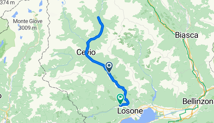
Overview
About this route
- 3 h 42 min
- Duration
- 60.6 km
- Distance
- 1,185 m
- Ascent
- 1,246 m
- Descent
- 16.4 km/h
- Avg. speed
- 836 m
- Max. altitude

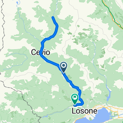
Part of
Route to Locarno
3 stages
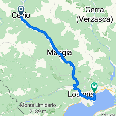
Route quality
Waytypes & surfaces along the route
Waytypes
Road
22.4 km
(37 %)
Quiet road
15.7 km
(26 %)
Surfaces
Paved
56.9 km
(94 %)
Unpaved
1.8 km
(3 %)
Asphalt
53.3 km
(88 %)
Paved (undefined)
3.6 km
(6 %)
Continue with Bikemap
Use, edit, or download this cycling route
You would like to ride Cevio - Verscio or customize it for your own trip? Here is what you can do with this Bikemap route:
Free features
- Save this route as favorite or in collections
- Copy & plan your own version of this route
- Sync your route with Garmin or Wahoo
Premium features
Free trial for 3 days, or one-time payment. More about Bikemap Premium.
- Navigate this route on iOS & Android
- Export a GPX / KML file of this route
- Create your custom printout (try it for free)
- Download this route for offline navigation
Discover more Premium features.
Get Bikemap PremiumFrom our community
Other popular routes starting in Cevio
 Cevio - Verscio
- Distance
- 60.6 km
- Ascent
- 1,185 m
- Descent
- 1,246 m
- Location
- Cevio, Canton Ticino, Switzerland
 Wanderung im Bavonatal (TI)
- Distance
- 11.7 km
- Ascent
- 112 m
- Descent
- 608 m
- Location
- Cevio, Canton Ticino, Switzerland
 someo fusio bellizone
- Distance
- 96.1 km
- Ascent
- 1,654 m
- Descent
- 1,796 m
- Location
- Cevio, Canton Ticino, Switzerland
 Via Cantonale 5, Brontallo nach Via Ponte dei Cavalli 3, Golino
- Distance
- 37.1 km
- Ascent
- 812 m
- Descent
- 1,231 m
- Location
- Cevio, Canton Ticino, Switzerland
 Lago di Naret
- Distance
- 67.1 km
- Ascent
- 1,941 m
- Descent
- 1,941 m
- Location
- Cevio, Canton Ticino, Switzerland
 Foroglio, Cavergno nach Via del Sole 23, Ascona
- Distance
- 41.6 km
- Ascent
- 595 m
- Descent
- 1,076 m
- Location
- Cevio, Canton Ticino, Switzerland
 Valle Bavona und Valle Maggia
- Distance
- 57.1 km
- Ascent
- 113 m
- Descent
- 858 m
- Location
- Cevio, Canton Ticino, Switzerland
 Percorso Valle Maggia - Tappa 2
- Distance
- 30.5 km
- Ascent
- 185 m
- Descent
- 402 m
- Location
- Cevio, Canton Ticino, Switzerland
Open it in the app