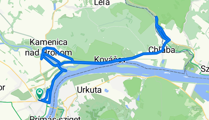
Uvoľnená trasa

A cycling route starting in Štúrovo, Nitra Region, Slovakia.
OverviewAbout this route
3 h 16 min
Duration
35.4 km
Distance
141 m
Ascent
162 m
Descent
10.8 km/h
Avg. speed
162 m
Max. altitude
bikemapuser253099368418862created this 7 months ago
Route photos
Photo 1 of the Bikemap route "Uvoľnená trasa"Photo 2 of the Bikemap route "Uvoľnená trasa"Photo 3 of the Bikemap route "Uvoľnená trasa"Photo 4 of the Bikemap route "Uvoľnená trasa"Photo 5 of the Bikemap route "Uvoľnená trasa"Photo 6 of the Bikemap route "Uvoľnená trasa"Photo 7 of the Bikemap route "Uvoľnená trasa"Photo 8 of the Bikemap route "Uvoľnená trasa"
Route qualityWaytypes & surfaces along the route
Waytypes
  • Road

    15.9 km45 %
  • Cycleway

    6 km17 %
  • Access road

    5.7 km16 %
Surfaces

Paved

31.5 km(89 %)

Unpaved

2.5 km(7 %)
  • Asphalt

    30.4 km86 %
  • Loose gravel

    1.4 km4 %
  • Concrete

    1.1 km3 %
Continue with BikemapUse, edit, or download this cycling route
You would like to ride Uvoľnená trasa or customize it for your own trip? Here is what you can do with this Bikemap route:
Free features
Premium features

Free trial for 3 days, or one-time payment. More about Bikemap Premium.

  • Navigate this route on iOS & Android
  • Export a GPX / KML file of this route
  • Create your custom printout (try it for free)
  • Download this route for offline navigation

Discover more Premium features.

Get Bikemap Premium
From our communityOther popular routes starting in Štúrovo

Open it in the app