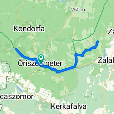
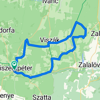
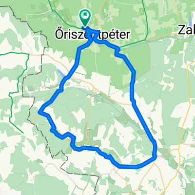
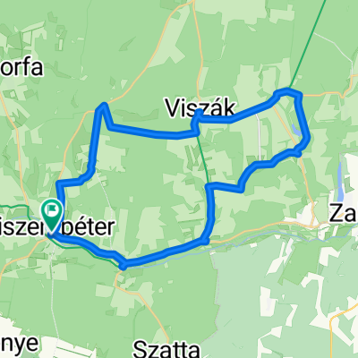
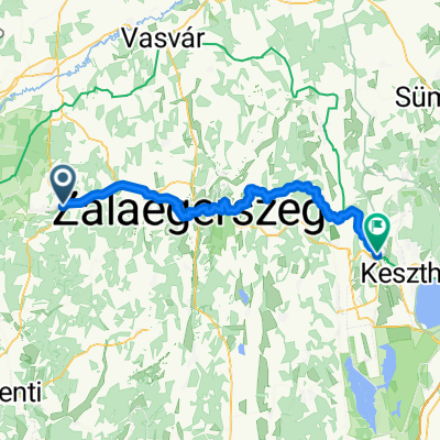
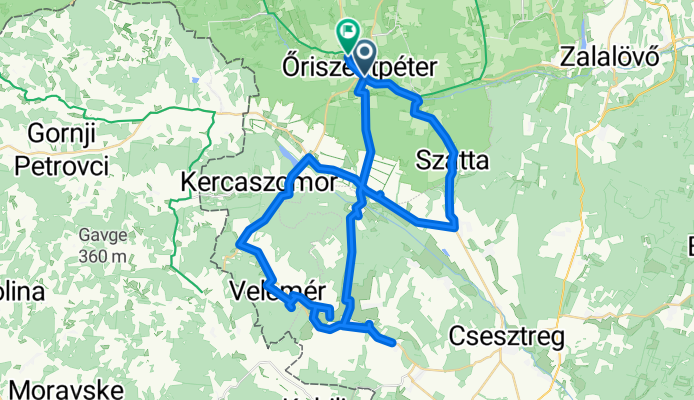
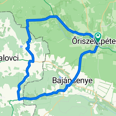
Városszer - Siskaszer 13/B
A cycling route starting in Zalalövő, Zala County, Hungary.
Overview
About this route
- 3 h 24 min
- Duration
- 60.7 km
- Distance
- 368 m
- Ascent
- 401 m
- Descent
- 17.8 km/h
- Avg. speed
- 282 m
- Max. altitude
Route photos
Route quality
Waytypes & surfaces along the route
Waytypes
Quiet road
7.3 km
(12 %)
Track
6.1 km
(10 %)
Undefined
47.3 km
(78 %)
Surfaces
Paved
22.5 km
(37 %)
Asphalt
17.6 km
(29 %)
Paved (undefined)
4.9 km
(8 %)
Undefined
38.2 km
(63 %)
Continue with Bikemap
Use, edit, or download this cycling route
You would like to ride Városszer - Siskaszer 13/B or customize it for your own trip? Here is what you can do with this Bikemap route:
Free features
- Save this route as favorite or in collections
- Copy & plan your own version of this route
- Sync your route with Garmin or Wahoo
Premium features
Free trial for 3 days, or one-time payment. More about Bikemap Premium.
- Navigate this route on iOS & Android
- Export a GPX / KML file of this route
- Create your custom printout (try it for free)
- Download this route for offline navigation
Discover more Premium features.
Get Bikemap PremiumFrom our community
Other popular routes starting in Zalalövő
Őrség_Koko_2- Distance
- 67.7 km
- Ascent
- 913 m
- Descent
- 923 m
- Location
- Zalalövő, Zala County, Hungary
Route to Őriszentpéter- Distance
- 42 km
- Ascent
- 280 m
- Descent
- 274 m
- Location
- Zalalövő, Zala County, Hungary
Őrség_Koko_3- Distance
- 67.2 km
- Ascent
- 533 m
- Descent
- 535 m
- Location
- Zalalövő, Zala County, Hungary
Őriszentpétertől dékeletre 28km- Distance
- 28 km
- Ascent
- 203 m
- Descent
- 201 m
- Location
- Zalalövő, Zala County, Hungary
Túra a Déli Védelmi Rendszer mentén- Distance
- 157.6 km
- Ascent
- 801 m
- Descent
- 891 m
- Location
- Zalalövő, Zala County, Hungary
Városszer - Siskaszer 13/B- Distance
- 60.7 km
- Ascent
- 368 m
- Descent
- 401 m
- Location
- Zalalövő, Zala County, Hungary
Őrség- Distance
- 52.6 km
- Ascent
- 325 m
- Descent
- 327 m
- Location
- Zalalövő, Zala County, Hungary
Őrség túra 62km- Distance
- 61.6 km
- Ascent
- 270 m
- Descent
- 260 m
- Location
- Zalalövő, Zala County, Hungary
Open it in the app


