
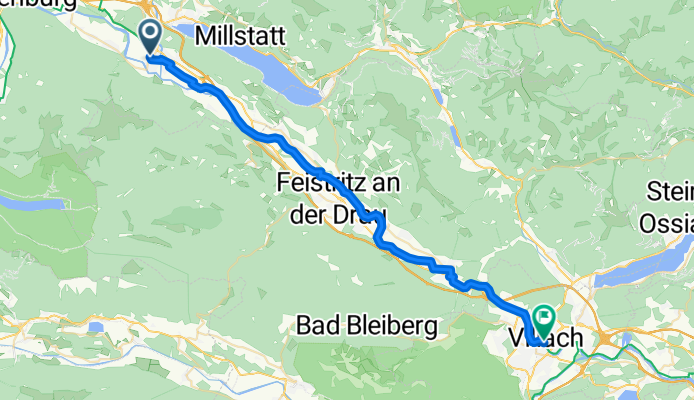
Spittal-Villach
A cycling route starting in Spittal an der Drau, Carinthia, Austria.
Overview
About this route
History and nature lovers will find many small highlights in this section, such as the excavations of the early Christian church at Molzbichl in the Lower Drava Valley, the 'Carantana' museum, or Villach's 'Good Mountain', the Dobratsch. Warm springs in Warmbad-Villach help tired spirits to recover. / From Spittal to Villach, the Drava Cycle Path is well developed and also very well signposted. On this stage, the cycle path mostly runs directly along the riverbank.
- 2 h 32 min
- Duration
- 40.3 km
- Distance
- 211 m
- Ascent
- 262 m
- Descent
- 15.9 km/h
- Avg. speed
- 549 m
- Max. altitude

Continue with Bikemap
Use, edit, or download this cycling route
You would like to ride Spittal-Villach or customize it for your own trip? Here is what you can do with this Bikemap route:
Free features
- Save this route as favorite or in collections
- Copy & plan your own version of this route
- Sync your route with Garmin or Wahoo
Premium features
Free trial for 3 days, or one-time payment. More about Bikemap Premium.
- Navigate this route on iOS & Android
- Export a GPX / KML file of this route
- Create your custom printout (try it for free)
- Download this route for offline navigation
Discover more Premium features.
Get Bikemap PremiumFrom our community
Other popular routes starting in Spittal an der Drau
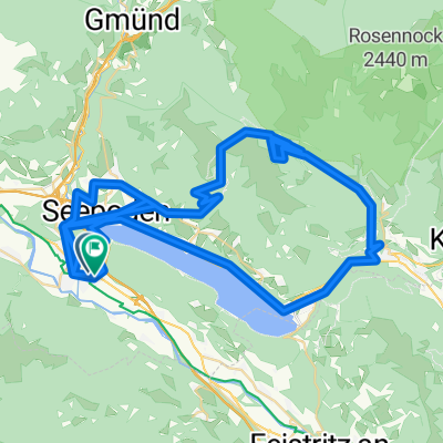 Über die Millstätter Alpe
- Distance
- 125.5 km
- Ascent
- 5,287 m
- Descent
- 5,287 m
- Location
- Spittal an der Drau, Carinthia, Austria
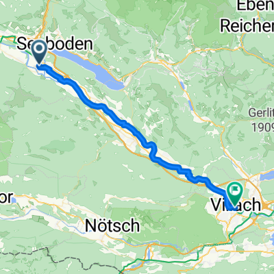
 From Spittal an der Drau to Villach
- Distance
- 39.5 km
- Ascent
- 206 m
- Descent
- 282 m
- Location
- Spittal an der Drau, Carinthia, Austria
 Von Spittal an der Drau bis Finkenstein am Faaker See
- Distance
- 50.9 km
- Ascent
- 401 m
- Descent
- 402 m
- Location
- Spittal an der Drau, Carinthia, Austria
 1 dzień
- Distance
- 78.5 km
- Ascent
- 995 m
- Descent
- 721 m
- Location
- Spittal an der Drau, Carinthia, Austria
 Spittal-Villach
- Distance
- 40.3 km
- Ascent
- 211 m
- Descent
- 262 m
- Location
- Spittal an der Drau, Carinthia, Austria
 Von Spittal an der Drau bis Egg am Faaker See
- Distance
- 49.6 km
- Ascent
- 393 m
- Descent
- 395 m
- Location
- Spittal an der Drau, Carinthia, Austria
 Tag3 Spittal-Villach
- Distance
- 40.2 km
- Ascent
- 219 m
- Descent
- 272 m
- Location
- Spittal an der Drau, Carinthia, Austria
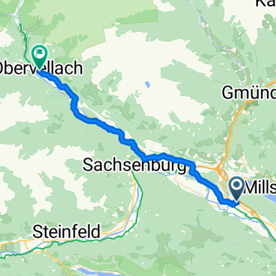 Spittal an der Drau Presserhofstraße to Obervellach
- Distance
- 35 km
- Ascent
- 628 m
- Descent
- 498 m
- Location
- Spittal an der Drau, Carinthia, Austria
Open it in the app