
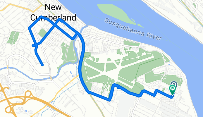
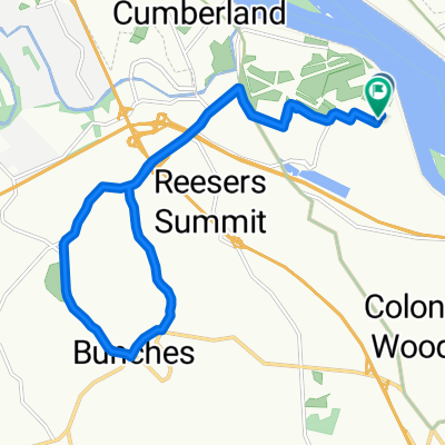
F Avenue to F Avenue
A cycling route starting in Enhaut, Pennsylvania, United States.
Overview
About this route
- 56 min
- Duration
- 12.2 km
- Distance
- 120 m
- Ascent
- 92 m
- Descent
- 13.2 km/h
- Avg. speed
- 159 m
- Max. altitude

Route photos

Route quality
Waytypes & surfaces along the route
Waytypes
Quiet road
8.1 km
(66 %)
Access road
1.1 km
(9 %)
Undefined
3.1 km
(25 %)
Surfaces
Paved
3.8 km
(31 %)
Asphalt
3.8 km
(31 %)
Undefined
8.4 km
(69 %)
Continue with Bikemap
Use, edit, or download this cycling route
You would like to ride F Avenue to F Avenue or customize it for your own trip? Here is what you can do with this Bikemap route:
Free features
- Save this route as favorite or in collections
- Copy & plan your own version of this route
- Sync your route with Garmin or Wahoo
Premium features
Free trial for 3 days, or one-time payment. More about Bikemap Premium.
- Navigate this route on iOS & Android
- Export a GPX / KML file of this route
- Create your custom printout (try it for free)
- Download this route for offline navigation
Discover more Premium features.
Get Bikemap PremiumFrom our community
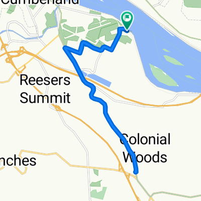
Other popular routes starting in Enhaut
 F Avenue to F Avenue
- Distance
- 12 km
- Ascent
- 194 m
- Descent
- 160 m
- Location
- Enhaut, Pennsylvania, United States
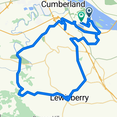 New Cumberlandfridididididiidid to New Cumberland
- Distance
- 49.7 km
- Ascent
- 778 m
- Descent
- 792 m
- Location
- Enhaut, Pennsylvania, United States
 Mifflin Avenue to Mifflin Avenue
- Distance
- 15.4 km
- Ascent
- 229 m
- Descent
- 186 m
- Location
- Enhaut, Pennsylvania, United States
 New Cumberland to New Cumberland
- Distance
- 14.3 km
- Ascent
- 223 m
- Descent
- 211 m
- Location
- Enhaut, Pennsylvania, United States
 Mifflin Avenue to Pawnee Drive
- Distance
- 40.7 km
- Ascent
- 460 m
- Descent
- 406 m
- Location
- Enhaut, Pennsylvania, United States
 Bomb Diggity
- Distance
- 17 km
- Ascent
- 233 m
- Descent
- 236 m
- Location
- Enhaut, Pennsylvania, United States
 F Avenue to F Avenue
- Distance
- 12.8 km
- Ascent
- 117 m
- Descent
- 87 m
- Location
- Enhaut, Pennsylvania, United States
 Relaxed route
- Distance
- 18.4 km
- Ascent
- 162 m
- Descent
- 130 m
- Location
- Enhaut, Pennsylvania, United States
Open it in the app