
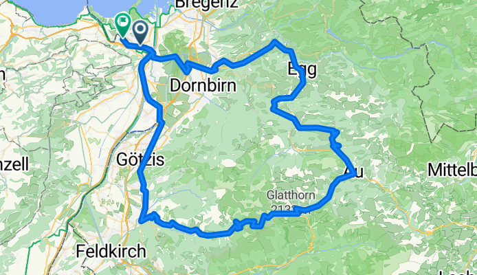
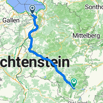
Au Furka Sport 2025
A cycling route starting in Höchst, Vorarlberg, Austria.
Overview
About this route
- 8 h 2 min
- Duration
- 119 km
- Distance
- 1,854 m
- Ascent
- 1,855 m
- Descent
- 14.8 km/h
- Avg. speed
- 1,749 m
- Max. altitude

Continue with Bikemap
Use, edit, or download this cycling route
You would like to ride Au Furka Sport 2025 or customize it for your own trip? Here is what you can do with this Bikemap route:
Free features
- Save this route as favorite or in collections
- Copy & plan your own version of this route
- Split it into stages to create a multi-day tour
- Sync your route with Garmin or Wahoo
Premium features
Free trial for 3 days, or one-time payment. More about Bikemap Premium.
- Navigate this route on iOS & Android
- Export a GPX / KML file of this route
- Create your custom printout (try it for free)
- Download this route for offline navigation
Discover more Premium features.
Get Bikemap PremiumFrom our community
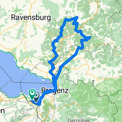
Other popular routes starting in Höchst
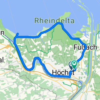 Neugrütt, Fußach nach Neugrütt, Fußach
- Distance
- 20.1 km
- Ascent
- 31 m
- Descent
- 33 m
- Location
- Höchst, Vorarlberg, Austria
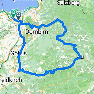 Au Furka Sport 2025
- Distance
- 119 km
- Ascent
- 1,854 m
- Descent
- 1,855 m
- Location
- Höchst, Vorarlberg, Austria
 Heimenkirch - Marktoberdorf
- Distance
- 115.4 km
- Ascent
- 1,592 m
- Descent
- 1,279 m
- Location
- Höchst, Vorarlberg, Austria
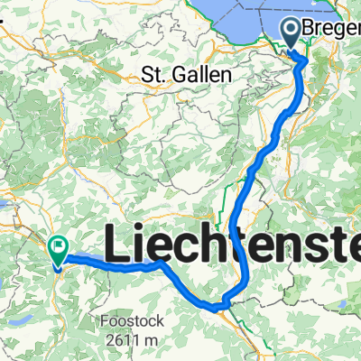
 Höchst - Gaschurn
- Distance
- 87.4 km
- Ascent
- 1,109 m
- Descent
- 521 m
- Location
- Höchst, Vorarlberg, Austria
 Farny 2025 Sport
- Distance
- 131.9 km
- Ascent
- 877 m
- Descent
- 877 m
- Location
- Höchst, Vorarlberg, Austria
 Oberstaufenrunde (kurze Variante)
- Distance
- 128.2 km
- Ascent
- 2,052 m
- Descent
- 2,049 m
- Location
- Höchst, Vorarlberg, Austria
 Höchst - Oberurnen
- Distance
- 96.8 km
- Ascent
- 988 m
- Descent
- 959 m
- Location
- Höchst, Vorarlberg, Austria
 Luzisteig 2025 Sport
- Distance
- 129.8 km
- Ascent
- 458 m
- Descent
- 460 m
- Location
- Höchst, Vorarlberg, Austria
Open it in the app