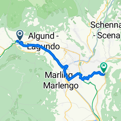
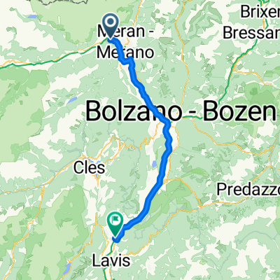
Meran - San Michele all'Adige
- 71.2 km
- 236 m
- 422 m
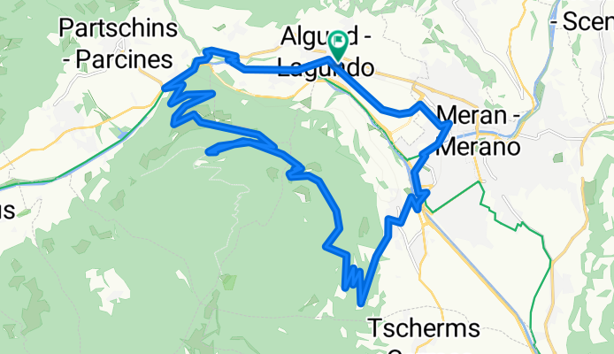
- Algund, Trentino-Alto Adige, Italy
A cycling route starting in Algund, Trentino-Alto Adige, Italy.
Overview
created this 3 months ago
Route quality
Quiet road
13.4 km
(51 %)
Cycleway
3.9 km
(15 %)
Paved
20.4 km
(78 %)
Asphalt
18.1 km
(69 %)
Paved (undefined)
2.4 km
(9 %)
Undefined
5.8 km
(22 %)
Continue with Bikemap
You would like to ride Algunder Runde or customize it for your own trip? Here is what you can do with this Bikemap route:
Free trial for 3 days, or one-time payment. More about Bikemap Premium.
Discover more Premium features.
Get Bikemap PremiumFrom our community
Open it in the app