
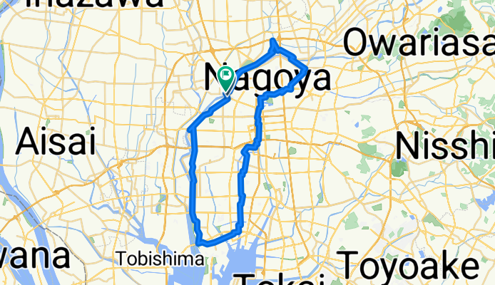
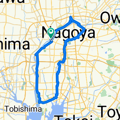
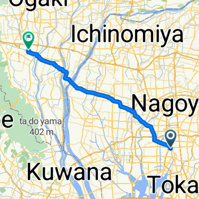
名古屋川沿いルート
A cycling route starting in Nagoya, Aichi, Japan.
Overview
About this route
- 2 h 50 min
- Duration
- 46.2 km
- Distance
- 156 m
- Ascent
- 156 m
- Descent
- 16.3 km/h
- Avg. speed
- 16 m
- Max. altitude
Route quality
Waytypes & surfaces along the route
Waytypes
Quiet road
30.9 km
(67 %)
Road
7.4 km
(16 %)
Surfaces
Paved
21.2 km
(46 %)
Paved (undefined)
14.3 km
(31 %)
Asphalt
6.9 km
(15 %)
Undefined
24.9 km
(54 %)
Continue with Bikemap
Use, edit, or download this cycling route
You would like to ride 名古屋川沿いルート or customize it for your own trip? Here is what you can do with this Bikemap route:
Free features
- Save this route as favorite or in collections
- Copy & plan your own version of this route
- Sync your route with Garmin or Wahoo
Premium features
Free trial for 3 days, or one-time payment. More about Bikemap Premium.
- Navigate this route on iOS & Android
- Export a GPX / KML file of this route
- Create your custom printout (try it for free)
- Download this route for offline navigation
Discover more Premium features.
Get Bikemap PremiumFrom our community
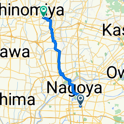
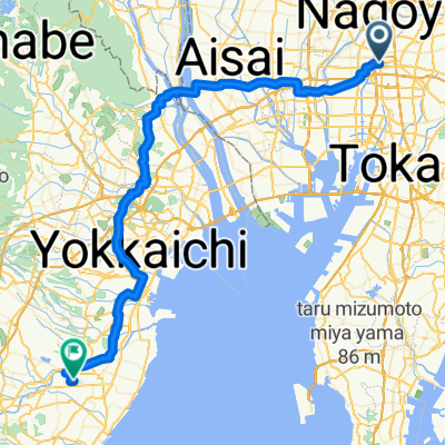
Other popular routes starting in Nagoya
 実家⇆職場
実家⇆職場- Distance
- 21.5 km
- Ascent
- 61 m
- Descent
- 73 m
- Location
- Nagoya, Aichi, Japan
 名古屋川沿いルート
- Distance
- 46.2 km
- Ascent
- 156 m
- Descent
- 156 m
- Location
- Nagoya, Aichi, Japan
 Nagoya - Nagahama
- Distance
- 68.8 km
- Ascent
- 336 m
- Descent
- 334 m
- Location
- Nagoya, Aichi, Japan
 Nagoya - Ōgaki
- Distance
- 38.8 km
- Ascent
- 4 m
- Descent
- 0 m
- Location
- Nagoya, Aichi, Japan
 Torisu 2-Chōme, Nagoya to Koseicho, Okazaki
- Distance
- 31.6 km
- Ascent
- 184 m
- Descent
- 175 m
- Location
- Nagoya, Aichi, Japan
 県道215号, 名古屋市千種区 to 金平町寺中28, 蒲郡市
- Distance
- 58.5 km
- Ascent
- 482 m
- Descent
- 411 m
- Location
- Nagoya, Aichi, Japan
 Rota lenta em Minato-Ku, Nagoya-Shi
- Distance
- 8 km
- Ascent
- 36 m
- Descent
- 43 m
- Location
- Nagoya, Aichi, Japan
 Нагоя Бентедзима
- Distance
- 105.9 km
- Ascent
- 623 m
- Descent
- 634 m
- Location
- Nagoya, Aichi, Japan
Open it in the app