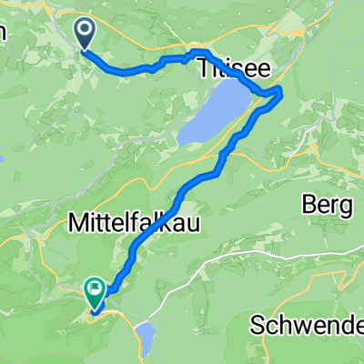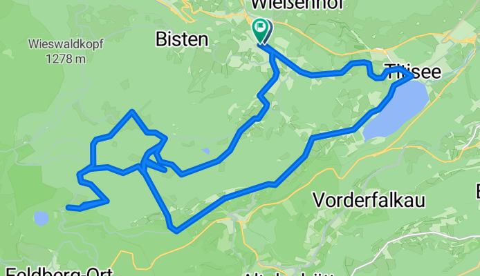

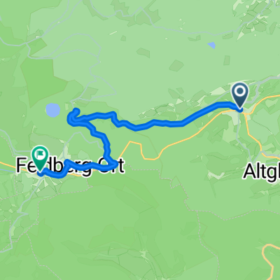
Von Feldberg (Schwarzwald) bis Hebelhof
- 9.8 km
- 484 m
- 228 m
- Hinterzarten, Baden-Wurttemberg, Germany
A cycling route starting in Hinterzarten, Baden-Wurttemberg, Germany.
Overview
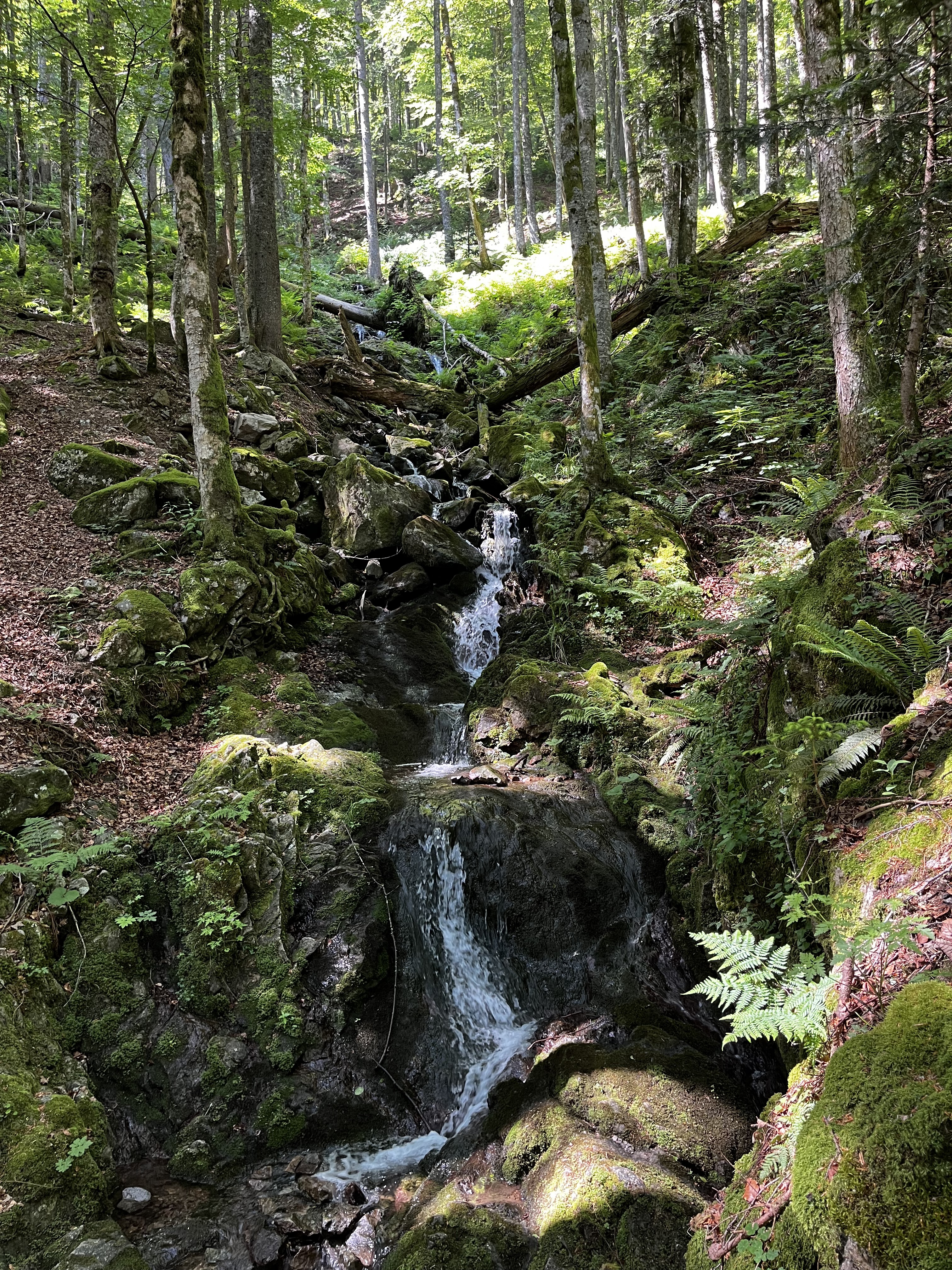
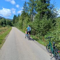
Due to numerous (photo) stops that weren't 'paused', ride time and average speed are distorted.
created this 3 months ago


Route quality
Track
17.9 km
(57 %)
Quiet road
5.4 km
(17 %)
Paved
14.8 km
(47 %)
Unpaved
16.7 km
(53 %)
Asphalt
14.8 km
(47 %)
Gravel
13.2 km
(42 %)
Continue with Bikemap
You would like to ride Zartenbachweg, Hinterzarten nach Zartenbachweg, Hinterzarten or customize it for your own trip? Here is what you can do with this Bikemap route:
Free trial for 3 days, or one-time payment. More about Bikemap Premium.
Discover more Premium features.
Get Bikemap PremiumFrom our community
Open it in the app