Rundweg durch die Vintgar-Schlucht
A cycling route starting in Zgornje Gorje, Municipality of Gorje, Slovenia.
Overview
About this route
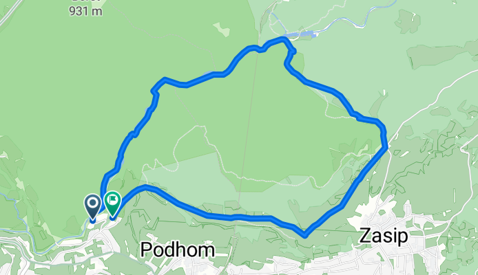
The circular route offers a highly interesting hike through the gorge and along the slopes of Hom Hill, from where there is a view of the Ljubljana basin, the Karawanks, and the Julian Alps.
- 28 min
- Duration
- 5.6 km
- Distance
- 242 m
- Ascent
- 239 m
- Descent
- 11.9 km/h
- Avg. speed
- 645 m
- Max. altitude
Continue with Bikemap
Use, edit, or download this cycling route
You would like to ride Rundweg durch die Vintgar-Schlucht or customize it for your own trip? Here is what you can do with this Bikemap route:
Free features
- Save this route as favorite or in collections
- Copy & plan your own version of this route
- Sync your route with Garmin or Wahoo
Premium features
Free trial for 3 days, or one-time payment. More about Bikemap Premium.
- Navigate this route on iOS & Android
- Export a GPX / KML file of this route
- Create your custom printout (try it for free)
- Download this route for offline navigation
Discover more Premium features.
Get Bikemap PremiumFrom our community
Other popular routes starting in Zgornje Gorje
Bled, Žirovnica, Begunje, Podnart, Radovljica, Bled- Distance
- 58.1 km
- Ascent
- 494 m
- Descent
- 500 m
- Location
- Zgornje Gorje, Municipality of Gorje, Slovenia
Bled, Bled to Jezerci, Gozd Martuljek- Distance
- 33.7 km
- Ascent
- 814 m
- Descent
- 591 m
- Location
- Zgornje Gorje, Municipality of Gorje, Slovenia
Bled, Bled to Vitranška ulica, Kranjska Gora- Distance
- 41 km
- Ascent
- 900 m
- Descent
- 581 m
- Location
- Zgornje Gorje, Municipality of Gorje, Slovenia
From Bled to Bohinjsko jezero- Distance
- 28 km
- Ascent
- 861 m
- Descent
- 823 m
- Location
- Zgornje Gorje, Municipality of Gorje, Slovenia
Kranjska gora s Krmo- Distance
- 75.3 km
- Ascent
- 683 m
- Descent
- 671 m
- Location
- Zgornje Gorje, Municipality of Gorje, Slovenia
pokljuka family- Distance
- 29.1 km
- Ascent
- 866 m
- Descent
- 862 m
- Location
- Zgornje Gorje, Municipality of Gorje, Slovenia
Bled to Bohinj Route 2 - Final- Distance
- 32.7 km
- Ascent
- 1,391 m
- Descent
- 1,415 m
- Location
- Zgornje Gorje, Municipality of Gorje, Slovenia
Rundweg durch die Vintgar-Schlucht- Distance
- 5.6 km
- Ascent
- 242 m
- Descent
- 239 m
- Location
- Zgornje Gorje, Municipality of Gorje, Slovenia
Open it in the app


