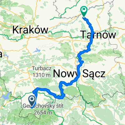
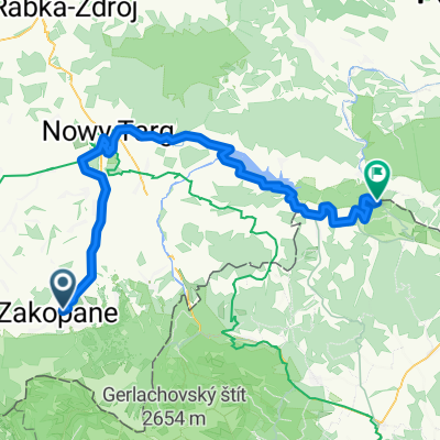
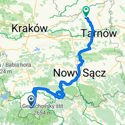
VeloDunajec - Zakopane to Tarnów
- 227.5 km
- 1,572 m
- 2,232 m
- Zakopane, Lesser Poland Voivodeship, Poland
A cycling route starting in Zakopane, Lesser Poland Voivodeship, Poland.
Overview
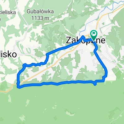
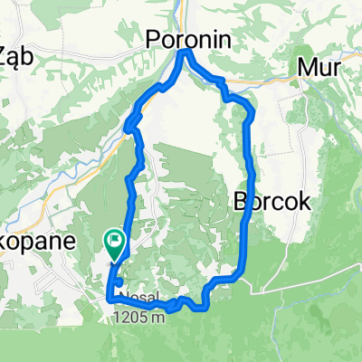
Tichá dolina
created this 3 months ago


Route quality
Access road
11.7 km
(95 %)
Quiet road
0.2 km
(2 %)
Paved
11.6 km
(94 %)
Unpaved
0.4 km
(3 %)
Asphalt
11.6 km
(94 %)
Gravel
0.2 km
(2 %)
Continue with Bikemap
You would like to ride 49.222, 19.962 až 49.144, 19.903 or customize it for your own trip? Here is what you can do with this Bikemap route:
Free trial for 3 days, or one-time payment. More about Bikemap Premium.
Discover more Premium features.
Get Bikemap PremiumFrom our community
Open it in the app