

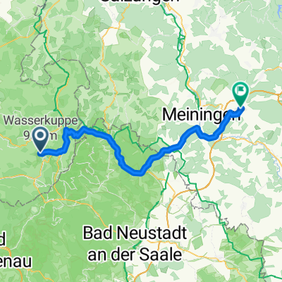
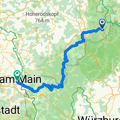
WP RR Wasserkuppe - Fürth
A cycling route starting in Poppenhausen, Hesse, Germany.
Overview
About this route
Rennradtour
Wasserkuppe - Fürth
überwiegend kleine Straßen
- -:--
- Duration
- 221.2 km
- Distance
- 1,563 m
- Ascent
- 2,187 m
- Descent
- ---
- Avg. speed
- ---
- Max. altitude
Route quality
Waytypes & surfaces along the route
Waytypes
Busy road
100.1 km
(45 %)
Road
62.1 km
(28 %)
Surfaces
Paved
155.1 km
(70 %)
Unpaved
3.8 km
(2 %)
Asphalt
151.9 km
(69 %)
Ground
1.7 km
(<1 %)
Continue with Bikemap
Use, edit, or download this cycling route
You would like to ride WP RR Wasserkuppe - Fürth or customize it for your own trip? Here is what you can do with this Bikemap route:
Free features
- Save this route as favorite or in collections
- Copy & plan your own version of this route
- Split it into stages to create a multi-day tour
- Sync your route with Garmin or Wahoo
Premium features
Free trial for 3 days, or one-time payment. More about Bikemap Premium.
- Navigate this route on iOS & Android
- Export a GPX / KML file of this route
- Create your custom printout (try it for free)
- Download this route for offline navigation
Discover more Premium features.
Get Bikemap PremiumFrom our community
Other popular routes starting in Poppenhausen
 Felix und Vincents MTB Strecke von der Steinwand nach Hofbieber
- Distance
- 13.5 km
- Ascent
- 193 m
- Descent
- 399 m
- Location
- Poppenhausen, Hesse, Germany
 Wasserkuppe-Thaiden-Birx-Ostheim-Dillstädt (Heimweg)
- Distance
- 67.9 km
- Ascent
- 541 m
- Descent
- 1,093 m
- Location
- Poppenhausen, Hesse, Germany
 Wasserkuppe-Hanau
- Distance
- 158.2 km
- Ascent
- 1,296 m
- Descent
- 2,104 m
- Location
- Poppenhausen, Hesse, Germany
 Route 1 von Poppenhausen (Wasserkuppe)
- Distance
- 34.4 km
- Ascent
- 481 m
- Descent
- 482 m
- Location
- Poppenhausen, Hesse, Germany
 Haunetalradweg - von der Quelle zur Nüst-Mündung
- Distance
- 26.3 km
- Ascent
- 77 m
- Descent
- 284 m
- Location
- Poppenhausen, Hesse, Germany
 Burgruine Ebersburg - Hohe Hölle - Kreuzberg - Burgruine Ebersburg
- Distance
- 51.5 km
- Ascent
- 1,159 m
- Descent
- 1,159 m
- Location
- Poppenhausen, Hesse, Germany
 Das abschliessende Dessert
- Distance
- 12.5 km
- Ascent
- 300 m
- Descent
- 338 m
- Location
- Poppenhausen, Hesse, Germany
 WP RR Wasserkuppe - Fürth
- Distance
- 221.2 km
- Ascent
- 1,563 m
- Descent
- 2,187 m
- Location
- Poppenhausen, Hesse, Germany
Open it in the app