
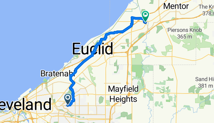
Downtown Willoughby Take 2
A cycling route starting in Cleveland Heights, Ohio, United States.
Overview
About this route
- 1 h 44 min
- Duration
- 31 km
- Distance
- 39 m
- Ascent
- 114 m
- Descent
- 17.9 km/h
- Avg. speed
- 278 m
- Max. altitude

Route quality
Waytypes & surfaces along the route
Waytypes
Quiet road
16.8 km
(54 %)
Road
11.8 km
(38 %)
Surfaces
Paved
14.6 km
(47 %)
Asphalt
11.2 km
(36 %)
Paved (undefined)
3.4 km
(11 %)
Undefined
16.5 km
(53 %)
Continue with Bikemap
Use, edit, or download this cycling route
You would like to ride Downtown Willoughby Take 2 or customize it for your own trip? Here is what you can do with this Bikemap route:
Free features
- Save this route as favorite or in collections
- Copy & plan your own version of this route
- Sync your route with Garmin or Wahoo
Premium features
Free trial for 3 days, or one-time payment. More about Bikemap Premium.
- Navigate this route on iOS & Android
- Export a GPX / KML file of this route
- Create your custom printout (try it for free)
- Download this route for offline navigation
Discover more Premium features.
Get Bikemap PremiumFrom our community
Other popular routes starting in Cleveland Heights
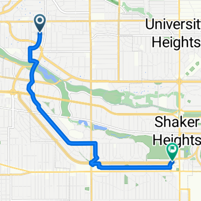 Cha Li Bubble Tea and Van Aiken
- Distance
- 8 km
- Ascent
- 52 m
- Descent
- 8 m
- Location
- Cleveland Heights, Ohio, United States
 Somerton Road 3010, Cleveland Heights to Somerton Road 3010, Cleveland Heights
- Distance
- 15 km
- Ascent
- 52 m
- Descent
- 50 m
- Location
- Cleveland Heights, Ohio, United States
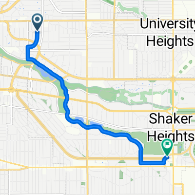
 Restful route
- Distance
- 13.2 km
- Ascent
- 77 m
- Descent
- 44 m
- Location
- Cleveland Heights, Ohio, United States
 Somerton Road 3010, Cleveland Heights to Somerton Road 3016, Cleveland Heights
- Distance
- 11.3 km
- Ascent
- 56 m
- Descent
- 60 m
- Location
- Cleveland Heights, Ohio, United States
 To Van Aiken District
- Distance
- 7.3 km
- Ascent
- 54 m
- Descent
- 10 m
- Location
- Cleveland Heights, Ohio, United States
 to whole foods via park
- Distance
- 5.5 km
- Ascent
- 61 m
- Descent
- 20 m
- Location
- Cleveland Heights, Ohio, United States
 Cinder Path
- Distance
- 12.3 km
- Ascent
- 65 m
- Descent
- 63 m
- Location
- Cleveland Heights, Ohio, United States
 Upper Shaker Lake
- Distance
- 11.5 km
- Ascent
- 58 m
- Descent
- 58 m
- Location
- Cleveland Heights, Ohio, United States
Open it in the app