

Relaxed route in Newton-le-Willows
- 9.4 km
- 258 m
- 243 m
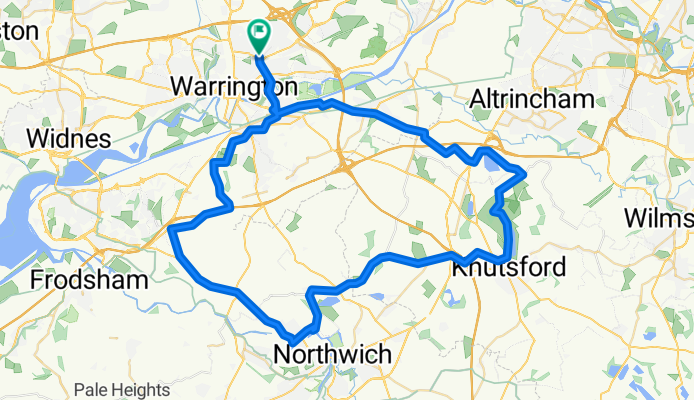
- Warrington, England, United Kingdom
A cycling route starting in Warrington, England, United Kingdom.
Overview


Route quality
Road
25.6 km
(38 %)
Cycleway
9.4 km
(14 %)
Paved
34.4 km
(51 %)
Unpaved
1.3 km
(2 %)
Asphalt
33.1 km
(49 %)
Paved (undefined)
1.3 km
(2 %)
Continue with Bikemap
You would like to ride Poplars Avenue to Poplars Avenue or customize it for your own trip? Here is what you can do with this Bikemap route:
Free trial for 3 days, or one-time payment. More about Bikemap Premium.
Discover more Premium features.
Get Bikemap PremiumFrom our community
Open it in the app


