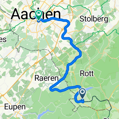

Jakobstraße nach Prümtalstraße
- 100.5 km
- 1,000 m
- 835 m
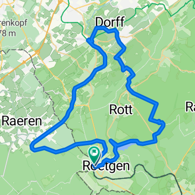
- Roetgen, North Rhine-Westphalia, Germany
A cycling route starting in Roetgen, North Rhine-Westphalia, Germany.
Overview
created this 3 months ago

Route quality
Path
19.6 km
(90 %)
Pedestrian area
0.7 km
(3 %)
Paved
20.9 km
(96 %)
Unpaved
0.4 km
(2 %)
Asphalt
20.5 km
(94 %)
Concrete
0.4 km
(2 %)
Continue with Bikemap
You would like to ride Vennbahnweg nach Philipsstraße or customize it for your own trip? Here is what you can do with this Bikemap route:
Free trial for 3 days, or one-time payment. More about Bikemap Premium.
Discover more Premium features.
Get Bikemap PremiumFrom our community
Open it in the app