

Vercorsrunde 2
- 322.8 km
- 5,251 m
- 5,321 m
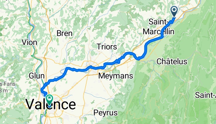
- Vinay, Auvergne-Rhône-Alpes, France
Overview
created this 5 months ago
Part of
6 stages
Route quality
Quiet road
42.2 km
(60 %)
Cycleway
21.8 km
(31 %)
Paved
37.3 km
(53 %)
Unpaved
0.7 km
(1 %)
Asphalt
37.3 km
(53 %)
Gravel
0.7 km
(1 %)
Undefined
32.3 km
(46 %)
Continue with Bikemap
You would like to ride Vinay - Valence or customize it for your own trip? Here is what you can do with this Bikemap route:
Free trial for 3 days, or one-time payment. More about Bikemap Premium.
Discover more Premium features.
Get Bikemap PremiumFrom our community
Open it in the app


