
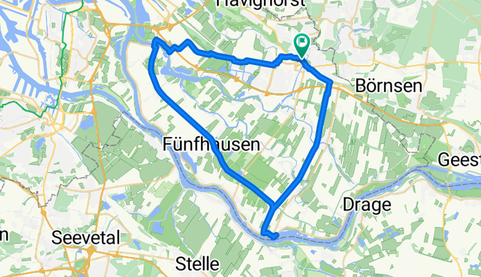
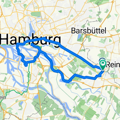
Johann-Meyer-Straße, Hamburg nach Johann-Meyer-Straße, Hamburg
A cycling route starting in Bergedorf, City state of Hamburg, Germany.
Overview
About this route
- 2 h 40 min
- Duration
- 39.7 km
- Distance
- 20 m
- Ascent
- 19 m
- Descent
- 14.9 km/h
- Avg. speed
- 9 m
- Max. altitude
Route quality
Waytypes & surfaces along the route
Waytypes
Path
15.1 km
(38 %)
Track
12.7 km
(32 %)
Surfaces
Paved
36.2 km
(91 %)
Asphalt
26.6 km
(67 %)
Concrete
8.3 km
(21 %)
Continue with Bikemap
Use, edit, or download this cycling route
You would like to ride Johann-Meyer-Straße, Hamburg nach Johann-Meyer-Straße, Hamburg or customize it for your own trip? Here is what you can do with this Bikemap route:
Free features
- Save this route as favorite or in collections
- Copy & plan your own version of this route
- Sync your route with Garmin or Wahoo
Premium features
Free trial for 3 days, or one-time payment. More about Bikemap Premium.
- Navigate this route on iOS & Android
- Export a GPX / KML file of this route
- Create your custom printout (try it for free)
- Download this route for offline navigation
Discover more Premium features.
Get Bikemap PremiumFrom our community
Other popular routes starting in Bergedorf
 hhb2025-neu
- Distance
- 284.5 km
- Ascent
- 841 m
- Descent
- 805 m
- Location
- Bergedorf, City state of Hamburg, Germany
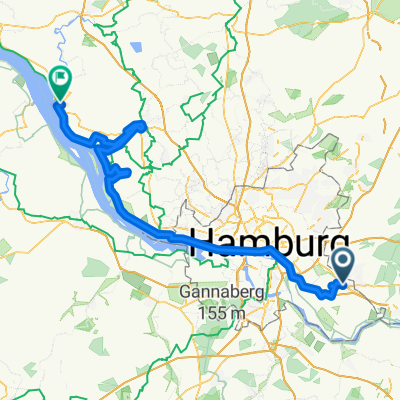
 Route in Hamburg
- Distance
- 73.8 km
- Ascent
- 302 m
- Descent
- 301 m
- Location
- Bergedorf, City state of Hamburg, Germany
 Johann-Meyer-Straße, Hamburg nach Johann-Meyer-Straße, Hamburg
- Distance
- 39.7 km
- Ascent
- 20 m
- Descent
- 19 m
- Location
- Bergedorf, City state of Hamburg, Germany
 WS77 nach VERA2
- Distance
- 27.4 km
- Ascent
- 56 m
- Descent
- 84 m
- Location
- Bergedorf, City state of Hamburg, Germany
 Durch die Vier- und Marschlande ( orginal )
- Distance
- 38.4 km
- Ascent
- 13 m
- Descent
- 13 m
- Location
- Bergedorf, City state of Hamburg, Germany
 Energie Bunker Hamburg
- Distance
- 52.7 km
- Ascent
- 179 m
- Descent
- 178 m
- Location
- Bergedorf, City state of Hamburg, Germany
 Hamburg to Glückstadt
- Distance
- 111.3 km
- Ascent
- 123 m
- Descent
- 126 m
- Location
- Bergedorf, City state of Hamburg, Germany
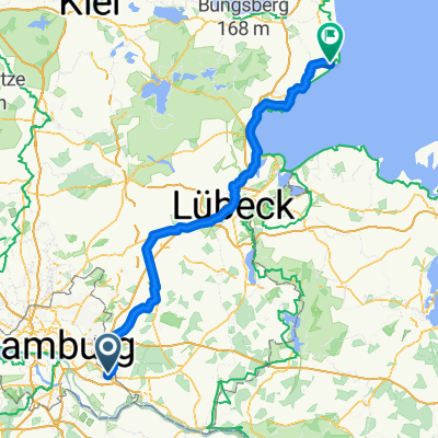 Von Hamburg bis Kellenhusen (Ostsee)
- Distance
- 129.6 km
- Ascent
- 554 m
- Descent
- 566 m
- Location
- Bergedorf, City state of Hamburg, Germany
Open it in the app