
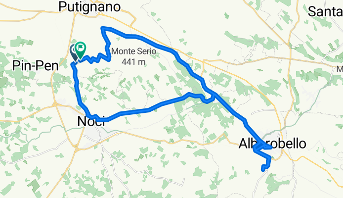
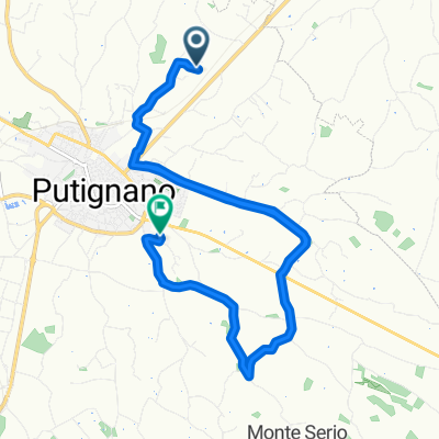
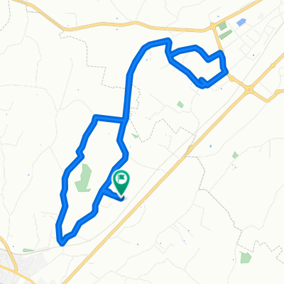
Strada Comunale dalla Russa a Parco Grande, Putignano a Strada Comunale Cacariccio, Putignano
A cycling route starting in Putignano, Apulia, Italy.
Overview
About this route
- 1 h 44 min
- Duration
- 36.2 km
- Distance
- 529 m
- Ascent
- 532 m
- Descent
- 21 km/h
- Avg. speed
- 466 m
- Max. altitude
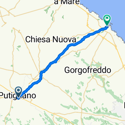
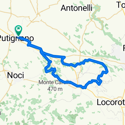
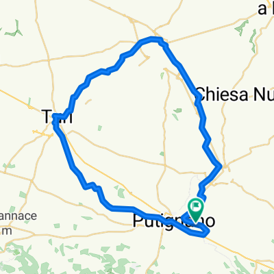
Route photos


Route quality
Waytypes & surfaces along the route
Waytypes
Quiet road
23.2 km
(64 %)
Track
1.4 km
(4 %)
Surfaces
Paved
5.8 km
(16 %)
Asphalt
5.8 km
(16 %)
Undefined
30.4 km
(84 %)
Continue with Bikemap
Use, edit, or download this cycling route
You would like to ride Strada Comunale dalla Russa a Parco Grande, Putignano a Strada Comunale Cacariccio, Putignano or customize it for your own trip? Here is what you can do with this Bikemap route:
Free features
- Save this route as favorite or in collections
- Copy & plan your own version of this route
- Sync your route with Garmin or Wahoo
Premium features
Free trial for 3 days, or one-time payment. More about Bikemap Premium.
- Navigate this route on iOS & Android
- Export a GPX / KML file of this route
- Create your custom printout (try it for free)
- Download this route for offline navigation
Discover more Premium features.
Get Bikemap PremiumFrom our community
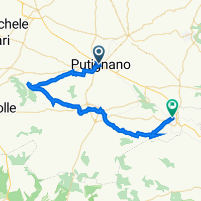
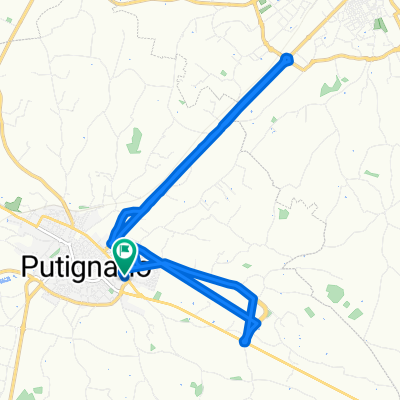
Other popular routes starting in Putignano
 Strada Comunale dalla Russa a Parco Grande, Putignano a Strada Comunale Cacariccio, Putignano
- Distance
- 36.2 km
- Ascent
- 529 m
- Descent
- 532 m
- Location
- Putignano, Apulia, Italy
 Restful route
- Distance
- 38.7 km
- Ascent
- 358 m
- Descent
- 306 m
- Location
- Putignano, Apulia, Italy
 Da Piazza Umberto Terracini, Putignano a Via Carafa Balì Giambattista 6/E, Putignano
- Distance
- 13.4 km
- Ascent
- 87 m
- Descent
- 85 m
- Location
- Putignano, Apulia, Italy
 Percorso per Strada Comunale Foggia dell'Opera 7, Putignano
- Distance
- 24.6 km
- Ascent
- 189 m
- Descent
- 186 m
- Location
- Putignano, Apulia, Italy
 Da Via Anna Frank 31A, Putignano a Via Capitano Pirrelli 26, Monopoli
- Distance
- 21.5 km
- Ascent
- 117 m
- Descent
- 463 m
- Location
- Putignano, Apulia, Italy
 Putignano-Barsento-Trulli-Coreggia-AQP diretto
- Distance
- 47.1 km
- Ascent
- 389 m
- Descent
- 391 m
- Location
- Putignano, Apulia, Italy
 Da Viale Cristoforo Colombo 132/C, Putignano a Viale Cristoforo Colombo 132/C, Putignano
- Distance
- 47.3 km
- Ascent
- 329 m
- Descent
- 329 m
- Location
- Putignano, Apulia, Italy
 Da Strada Provinciale 237 Castellana Grotte Putignano 48/A, Putignano a Strada Provinciale 237 Castellana Grotte Putignano 48/A, Putignano
- Distance
- 9.6 km
- Ascent
- 107 m
- Descent
- 104 m
- Location
- Putignano, Apulia, Italy
Open it in the app