
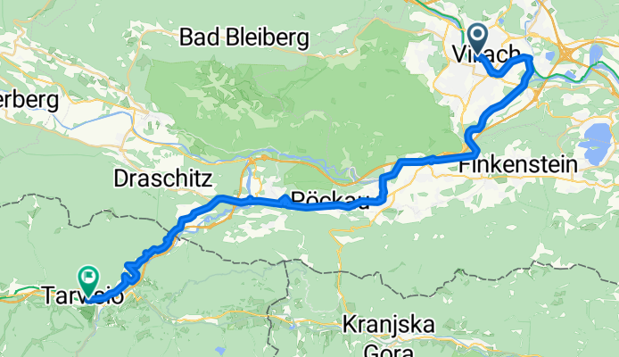
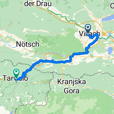
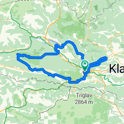
5a tappa: Villach-Tarvisio
A cycling route starting in Villach, Carinthia, Austria.
Overview
About this route
This stage unfolds largely along the Gail River, on the southern side of the Villacher Alpe, and partly within the Dobratsch Nature Park. Passing through small villages, one approaches the Italian border, crossed at Thörl-Maglern. Riding along the old railway route, a few kilometers after the border you reach Tarvisio, the tourist station at the northern entrance to the Val Canale.
- 2 h 50 min
- Duration
- 39.7 km
- Distance
- 723 m
- Ascent
- 468 m
- Descent
- 14 km/h
- Avg. speed
- 783 m
- Max. altitude

Continue with Bikemap
Use, edit, or download this cycling route
You would like to ride 5a tappa: Villach-Tarvisio or customize it for your own trip? Here is what you can do with this Bikemap route:
Free features
- Save this route as favorite or in collections
- Copy & plan your own version of this route
- Sync your route with Garmin or Wahoo
Premium features
Free trial for 3 days, or one-time payment. More about Bikemap Premium.
- Navigate this route on iOS & Android
- Export a GPX / KML file of this route
- Create your custom printout (try it for free)
- Download this route for offline navigation
Discover more Premium features.
Get Bikemap PremiumFrom our community
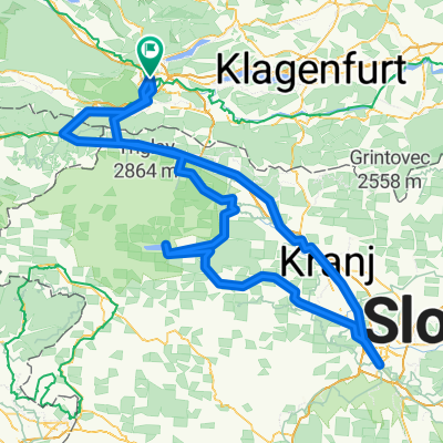
Other popular routes starting in Villach
 5a tappa: Villach-Tarvisio
- Distance
- 39.7 km
- Ascent
- 723 m
- Descent
- 468 m
- Location
- Villach, Carinthia, Austria
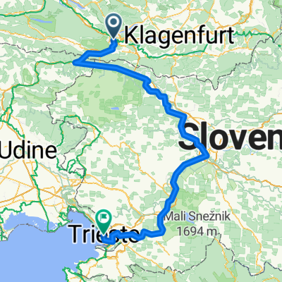 Von Villach bis Triest
- Distance
- 273.6 km
- Ascent
- 4,423 m
- Descent
- 4,896 m
- Location
- Villach, Carinthia, Austria
 Alpenpässe Ö-Slo_I
- Distance
- 133.9 km
- Ascent
- 2,620 m
- Descent
- 2,620 m
- Location
- Villach, Carinthia, Austria
 Carinthian Lake Loop - Villach to Villach
- Distance
- 438.5 km
- Ascent
- 3,948 m
- Descent
- 3,948 m
- Location
- Villach, Carinthia, Austria
 villach-bled-ljubljana-villach_v2
- Distance
- 299.9 km
- Ascent
- 2,884 m
- Descent
- 2,887 m
- Location
- Villach, Carinthia, Austria
 Draupromenade, Villach nach Standesamtsplatz, Villach
- Distance
- 204.4 km
- Ascent
- 3,175 m
- Descent
- 3,161 m
- Location
- Villach, Carinthia, Austria
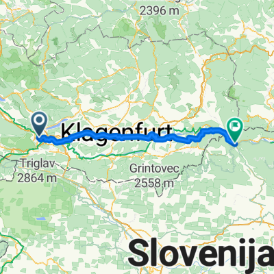 Villach - Dravograd
- Distance
- 115.1 km
- Ascent
- 983 m
- Descent
- 1,110 m
- Location
- Villach, Carinthia, Austria
 Leiningengasse to Umfahrungsstraße
- Distance
- 94.4 km
- Ascent
- 784 m
- Descent
- 862 m
- Location
- Villach, Carinthia, Austria
Open it in the app