
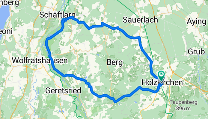
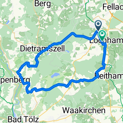
Hoki_Wolfh_Aumuehl_Altk_Hoki
A cycling route starting in Holzkirchen, Bavaria, Germany.
Overview
About this route
- 3 h 13 min
- Duration
- 58.8 km
- Distance
- 675 m
- Ascent
- 676 m
- Descent
- 18.3 km/h
- Avg. speed
- 744 m
- Max. altitude
Route quality
Waytypes & surfaces along the route
Waytypes
Quiet road
18.2 km
(31 %)
Cycleway
7.1 km
(12 %)
Surfaces
Paved
57.1 km
(97 %)
Unpaved
0.6 km
(1 %)
Asphalt
57.1 km
(97 %)
Unpaved (undefined)
0.6 km
(1 %)
Undefined
1.2 km
(2 %)
Continue with Bikemap
Use, edit, or download this cycling route
You would like to ride Hoki_Wolfh_Aumuehl_Altk_Hoki or customize it for your own trip? Here is what you can do with this Bikemap route:
Free features
- Save this route as favorite or in collections
- Copy & plan your own version of this route
- Sync your route with Garmin or Wahoo
Premium features
Free trial for 3 days, or one-time payment. More about Bikemap Premium.
- Navigate this route on iOS & Android
- Export a GPX / KML file of this route
- Create your custom printout (try it for free)
- Download this route for offline navigation
Discover more Premium features.
Get Bikemap PremiumFrom our community
Other popular routes starting in Holzkirchen
 Etappe 1 Gardasee
- Distance
- 132.2 km
- Ascent
- 495 m
- Descent
- 605 m
- Location
- Holzkirchen, Bavaria, Germany
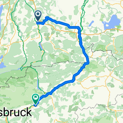
 Hoki - Tegernsee
- Distance
- 62.6 km
- Ascent
- 606 m
- Descent
- 608 m
- Location
- Holzkirchen, Bavaria, Germany
 Gerstackerstraße 4b nach Gerstackerstraße 4b
- Distance
- 60.3 km
- Ascent
- 381 m
- Descent
- 424 m
- Location
- Holzkirchen, Bavaria, Germany
 Jahnstraße nach Jahnstraße
- Distance
- 20.8 km
- Ascent
- 255 m
- Descent
- 255 m
- Location
- Holzkirchen, Bavaria, Germany
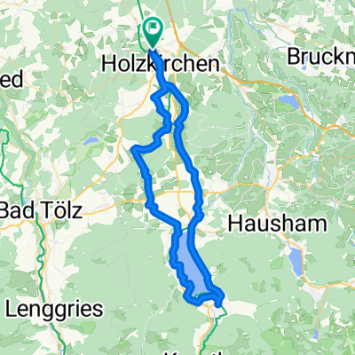
 Holzkirchen nach Miesbach Krauthof Café über Höfe zurück
- Distance
- 46.5 km
- Ascent
- 781 m
- Descent
- 779 m
- Location
- Holzkirchen, Bavaria, Germany
 Holzkirchen - Wildsteig
- Distance
- 64 km
- Ascent
- 611 m
- Descent
- 646 m
- Location
- Holzkirchen, Bavaria, Germany
 Hausstrecke
- Distance
- 46.4 km
- Ascent
- 311 m
- Descent
- 311 m
- Location
- Holzkirchen, Bavaria, Germany
 Holzkirchen, Holzkirchen nach Thann, Holzkirchen
- Distance
- 42.8 km
- Ascent
- 479 m
- Descent
- 476 m
- Location
- Holzkirchen, Bavaria, Germany
Open it in the app