
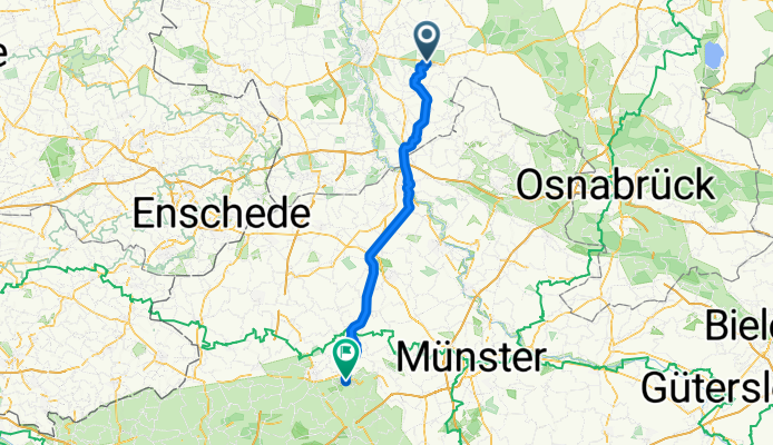
001Thuine - Billerbeck
- 77.9 km
- 361 m
- 278 m
- Thuine, Lower Saxony, Germany
Thuine nach Esslingen am Neckar
A cycling route starting in Thuine, Lower Saxony, Germany.
Overview
created this 8 months ago
Part of
9 stages
Route quality
Path
39.7 km
51 %
Quiet road
14.8 km
19 %
Paved
56.1 km
(72 %)
Asphalt
54.5 km
70 %
Paved (undefined)
1.6 km
2 %
Undefined
21.8 km
28 %
Continue with Bikemap
You would like to ride 001Thuine - Billerbeck or customize it for your own trip? Here is what you can do with this Bikemap route:
Free trial for 3 days, or one-time payment. More about Bikemap Premium.
Discover more Premium features.
Get Bikemap PremiumFrom our community
Open it in the app


