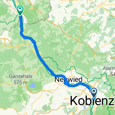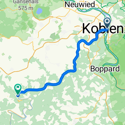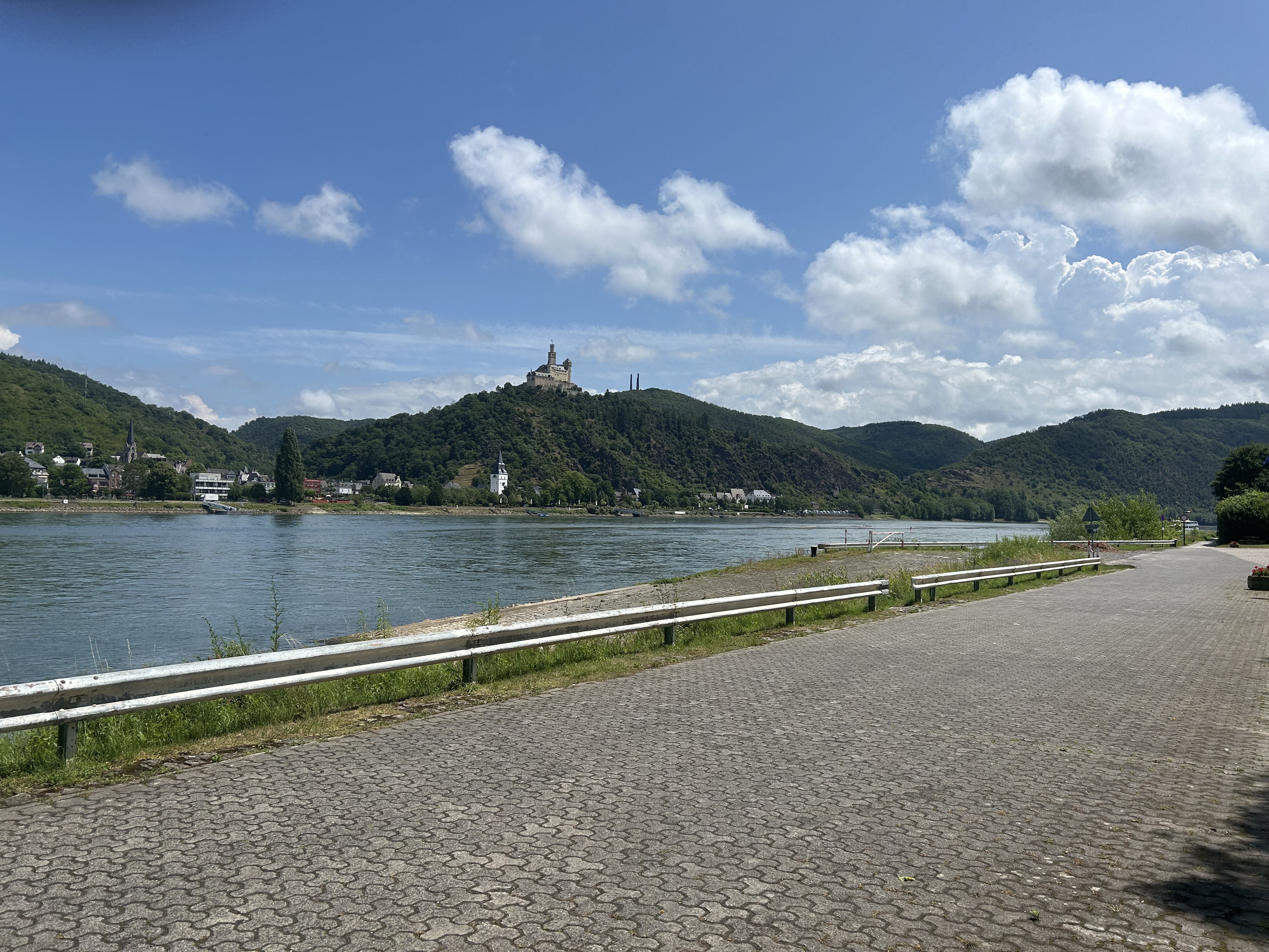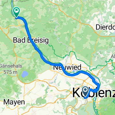

Koblenz - Bonn
- 174.1 km
- 669 m
- 706 m
- Koblenz, Rhineland-Palatinate, Germany
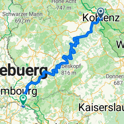
Thuine nach Esslingen am Neckar
A cycling route starting in Koblenz, Rhineland-Palatinate, Germany.
Overview
created this 3 months ago
Part of
9 stages
Route quality
Path
33.1 km
(51 %)
Road
9.7 km
(15 %)
Paved
60.4 km
(93 %)
Asphalt
59.1 km
(91 %)
Paved (undefined)
1.3 km
(2 %)
Undefined
4.5 km
(7 %)
Continue with Bikemap
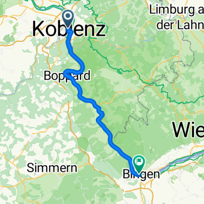
You would like to ride 005Koblenz - Bingen am Rhein or customize it for your own trip? Here is what you can do with this Bikemap route:
Free trial for 3 days, or one-time payment. More about Bikemap Premium.
Discover more Premium features.
Get Bikemap PremiumFrom our community
Open it in the app