
Overview
About this route
- 4 h 43 min
- Duration
- 85.5 km
- Distance
- 419 m
- Ascent
- 466 m
- Descent
- 18.1 km/h
- Avg. speed
- 271 m
- Max. altitude
Part of
Nürnberg-Budapest
13 stages
Route quality
Waytypes & surfaces along the route
Waytypes
Cycleway
47 km
(55 %)
Quiet road
9.4 km
(11 %)
Surfaces
Paved
82.1 km
(96 %)
Asphalt
80.4 km
(94 %)
Paved (undefined)
0.9 km
(1 %)
Continue with Bikemap
Use, edit, or download this cycling route
You would like to ride Perg - Spitz an der Donau or customize it for your own trip? Here is what you can do with this Bikemap route:
Free features
- Save this route as favorite or in collections
- Copy & plan your own version of this route
- Split it into stages to create a multi-day tour
- Sync your route with Garmin or Wahoo
Premium features
Free trial for 3 days, or one-time payment. More about Bikemap Premium.
- Navigate this route on iOS & Android
- Export a GPX / KML file of this route
- Create your custom printout (try it for free)
- Download this route for offline navigation
Discover more Premium features.
Get Bikemap PremiumFrom our community
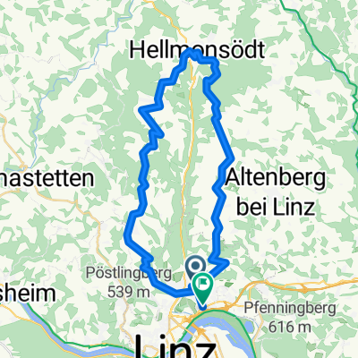
Other popular routes starting in Linz
 L-Pelmbergstüberl 03.10.25-L
- Distance
- 25.3 km
- Ascent
- 618 m
- Descent
- 618 m
- Location
- Linz, Upper Austria, Austria
 Trail Uni – Windpassing 2
- Distance
- 8.8 km
- Ascent
- 360 m
- Descent
- 360 m
- Location
- Linz, Upper Austria, Austria
 Linz - Plesching - St.Georgen - Galli - Linz
- Distance
- 40.6 km
- Ascent
- 292 m
- Descent
- 293 m
- Location
- Linz, Upper Austria, Austria
 Urfahr/GIS/Urfahr
- Distance
- 23 km
- Ascent
- 653 m
- Descent
- 653 m
- Location
- Linz, Upper Austria, Austria
 Leonfeldner Straße 68a nach Leonfeldner Straße 66a
- Distance
- 20.2 km
- Ascent
- 729 m
- Descent
- 774 m
- Location
- Linz, Upper Austria, Austria
 Urfahr-Altenberg-Oberbairing
- Distance
- 28.1 km
- Ascent
- 607 m
- Descent
- 565 m
- Location
- Linz, Upper Austria, Austria
 Donau-/Traunrunde
- Distance
- 35 km
- Ascent
- 70 m
- Descent
- 69 m
- Location
- Linz, Upper Austria, Austria
 Lange Ausfahrt durch Linz
- Distance
- 35.3 km
- Ascent
- 780 m
- Descent
- 794 m
- Location
- Linz, Upper Austria, Austria
Open it in the app