
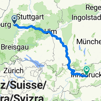
Insbruck
- 400.6 km
- 5,085 m
- 5,092 m
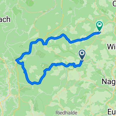
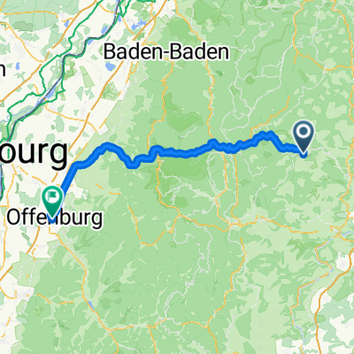
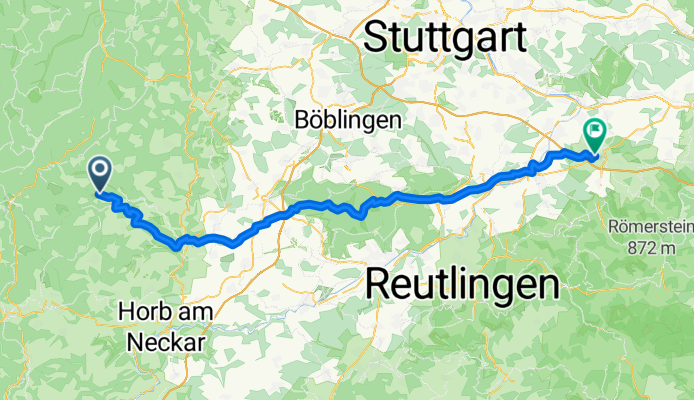
- Altensteig, Baden-Wurttemberg, Germany
A cycling route starting in Altensteig, Baden-Wurttemberg, Germany.
Overview
created this 3 months ago


Route quality
Track
48.8 km
(58 %)
Quiet road
13.5 km
(16 %)
Paved
48 km
(57 %)
Unpaved
31.2 km
(37 %)
Asphalt
43.8 km
(52 %)
Gravel
26.1 km
(31 %)
Continue with Bikemap
You would like to ride Überberg - Kirchheim Teck, alte Poststraße or customize it for your own trip? Here is what you can do with this Bikemap route:
Free trial for 3 days, or one-time payment. More about Bikemap Premium.
Discover more Premium features.
Get Bikemap PremiumFrom our community
Open it in the app