
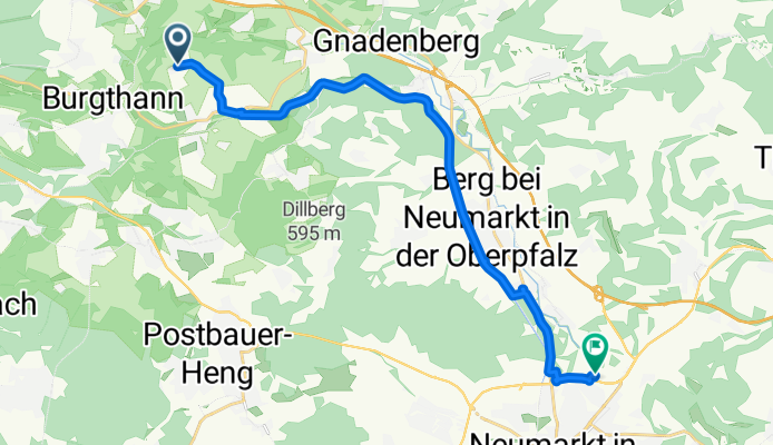
Westhaid, Burgthann nach Am Berliner Ring, Neumarkt in der Oberpfalz
A cycling route starting in Burgthann, Bavaria, Germany.
Overview
About this route
Geschwindigkeit langsam. Kurze Klamotten, weniger geschwitzt.
- 1 h 5 min
- Duration
- 17.1 km
- Distance
- 87 m
- Ascent
- 116 m
- Descent
- 15.8 km/h
- Avg. speed
- 454 m
- Max. altitude
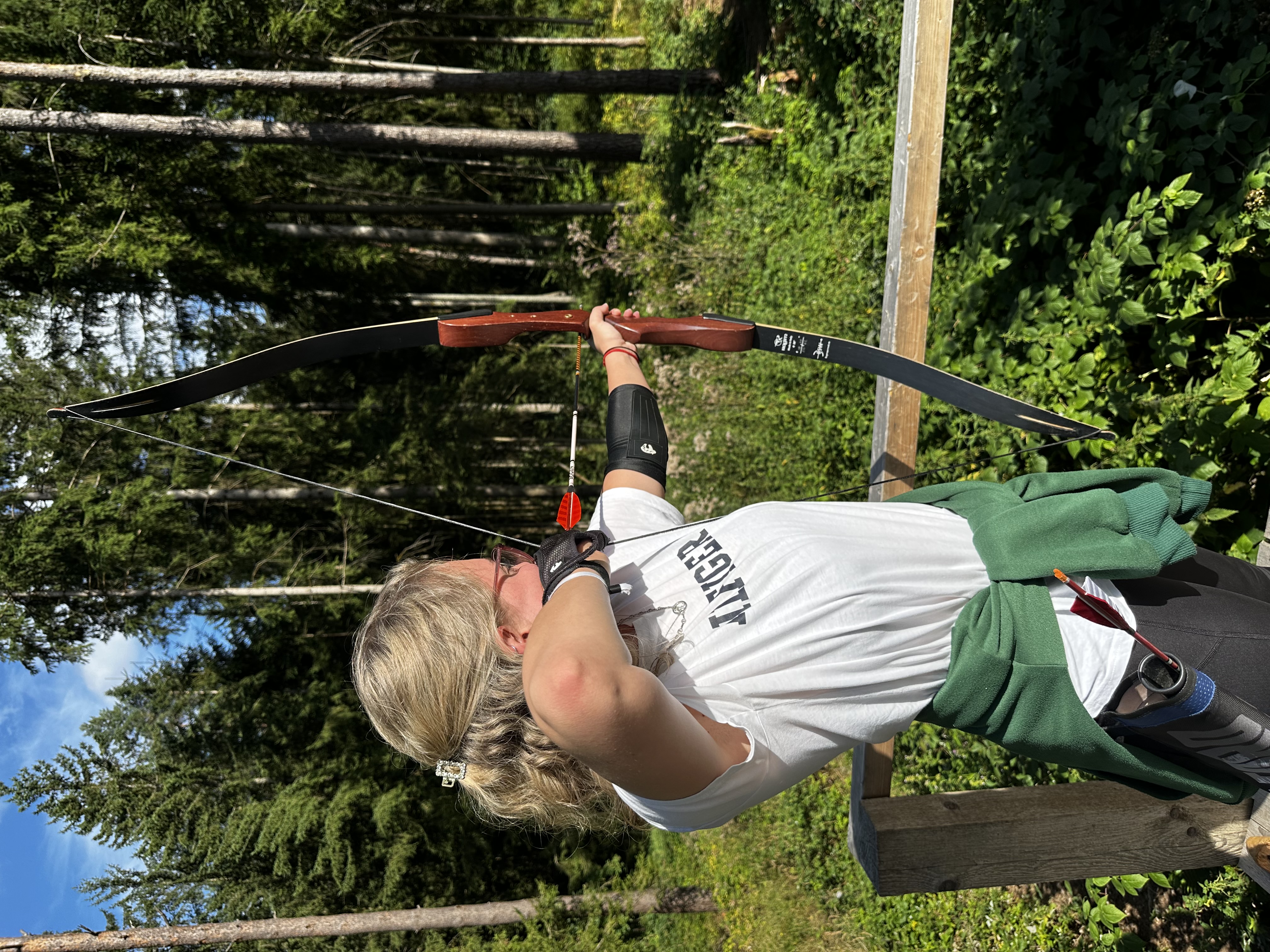
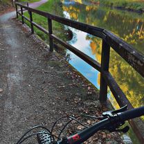
Route photos

Route quality
Waytypes & surfaces along the route
Waytypes
Path
4.6 km
(27 %)
Track
4.6 km
(27 %)
Surfaces
Paved
8.4 km
(49 %)
Unpaved
7.6 km
(44 %)
Asphalt
8.4 km
(49 %)
Gravel
7.6 km
(44 %)
Continue with Bikemap
Use, edit, or download this cycling route
You would like to ride Westhaid, Burgthann nach Am Berliner Ring, Neumarkt in der Oberpfalz or customize it for your own trip? Here is what you can do with this Bikemap route:
Free features
- Save this route as favorite or in collections
- Copy & plan your own version of this route
- Sync your route with Garmin or Wahoo
Premium features
Free trial for 3 days, or one-time payment. More about Bikemap Premium.
- Navigate this route on iOS & Android
- Export a GPX / KML file of this route
- Create your custom printout (try it for free)
- Download this route for offline navigation
Discover more Premium features.
Get Bikemap PremiumFrom our community
Other popular routes starting in Burgthann
 Pfeiferhütte-Allersberg-Bahntrasse
- Distance
- 33.3 km
- Ascent
- 319 m
- Descent
- 332 m
- Location
- Burgthann, Bavaria, Germany
 Westhaid, Burgthann nach Am Berliner Ring, Neumarkt in der Oberpfalz
- Distance
- 17.1 km
- Ascent
- 87 m
- Descent
- 116 m
- Location
- Burgthann, Bavaria, Germany
 Fünf Flüsse
- Distance
- 281.7 km
- Ascent
- 425 m
- Descent
- 425 m
- Location
- Burgthann, Bavaria, Germany
 daheim - Allersberg - Freystadt - Reichertshofen - Berngau 60km
- Distance
- 58.9 km
- Ascent
- 422 m
- Descent
- 395 m
- Location
- Burgthann, Bavaria, Germany
 Pfeifferhütte, alte Bahnstrecke, Allersburg, Faberhof, zurück
- Distance
- 34.1 km
- Ascent
- 199 m
- Descent
- 199 m
- Location
- Burgthann, Bavaria, Germany
 Daheim - Schanzenbräu über Schuldturm ...
- Distance
- 29.5 km
- Ascent
- 155 m
- Descent
- 287 m
- Location
- Burgthann, Bavaria, Germany
 Runde um Lindelburg
- Distance
- 47.3 km
- Ascent
- 295 m
- Descent
- 293 m
- Location
- Burgthann, Bavaria, Germany
 2009 Ludwig Kanal-Rothenburg/o d Tauber
- Distance
- 102.7 km
- Ascent
- 529 m
- Descent
- 540 m
- Location
- Burgthann, Bavaria, Germany
Open it in the app