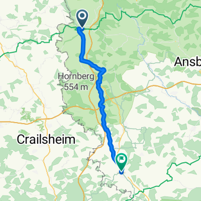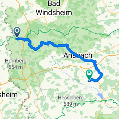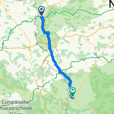
Deutschland2027 E8
- 70.6 km
- 709 m
- 951 m
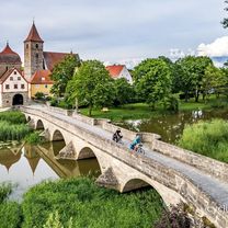
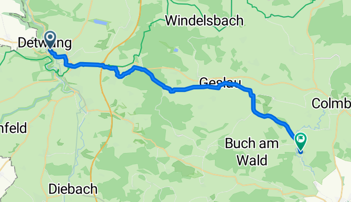
- Rothenburg upon Tauber, Bavaria, Germany
Von Nord (Holland), Rothenditmold, Philippinenhof, Fasanenhof, Wesertor bis Murnau am Staffelsee
A cycling route starting in Rothenburg upon Tauber, Bavaria, Germany.
Overview
created this 3 months ago
Part of
Route quality
Quiet road
10.2 km
(51 %)
Track
5 km
(25 %)
Paved
10 km
(50 %)
Unpaved
0.8 km
(4 %)
Asphalt
7 km
(35 %)
Paved (undefined)
2.2 km
(11 %)
Continue with Bikemap
You would like to ride Rothenburg ob der Tauber - Colmberg or customize it for your own trip? Here is what you can do with this Bikemap route:
Free trial for 3 days, or one-time payment. More about Bikemap Premium.
Discover more Premium features.
Get Bikemap PremiumFrom our community
Open it in the app