
Overview
About this route
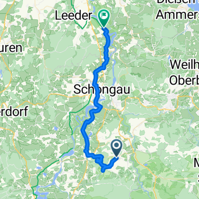
- 5 h 28 min
- Duration
- 82.8 km
- Distance
- 950 m
- Ascent
- 1,086 m
- Descent
- 15.2 km/h
- Avg. speed
- 996 m
- Max. altitude

Part of
Königsee Bodensee
6 stages
Route quality
Waytypes & surfaces along the route
Waytypes
Quiet road
39.8 km
(48 %)
Path
16.6 km
(20 %)
Surfaces
Paved
77.9 km
(94 %)
Unpaved
1.7 km
(2 %)
Asphalt
77.9 km
(94 %)
Gravel
0.8 km
(1 %)
Continue with Bikemap
Use, edit, or download this cycling route
You would like to ride Wildsteig - Sonthofen or customize it for your own trip? Here is what you can do with this Bikemap route:
Free features
- Save this route as favorite or in collections
- Copy & plan your own version of this route
- Split it into stages to create a multi-day tour
- Sync your route with Garmin or Wahoo
Premium features
Free trial for 3 days, or one-time payment. More about Bikemap Premium.
- Navigate this route on iOS & Android
- Export a GPX / KML file of this route
- Create your custom printout (try it for free)
- Download this route for offline navigation
Discover more Premium features.
Get Bikemap PremiumFrom our community
Other popular routes starting in Wildsteig
 An der Bleick
- Distance
- 32.1 km
- Ascent
- 788 m
- Descent
- 788 m
- Location
- Wildsteig, Bavaria, Germany
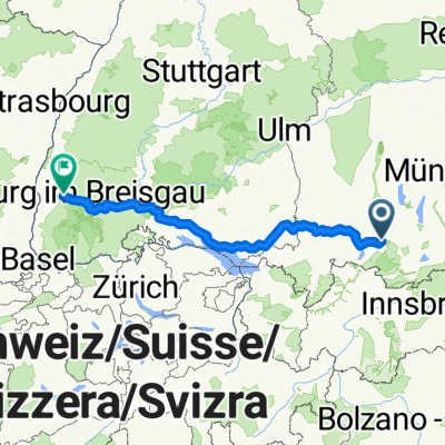 Kirchbergstraße, Wildsteig nach Bismarckallee, Freiburg im Breisgau
- Distance
- 328.7 km
- Ascent
- 3,401 m
- Descent
- 4,007 m
- Location
- Wildsteig, Bavaria, Germany
 Wildsteig - Leutkirch im Allgäu
- Distance
- 99.8 km
- Ascent
- 935 m
- Descent
- 1,154 m
- Location
- Wildsteig, Bavaria, Germany
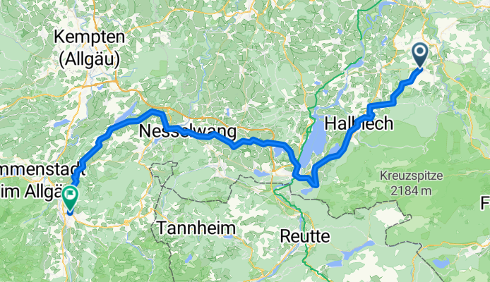
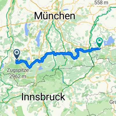
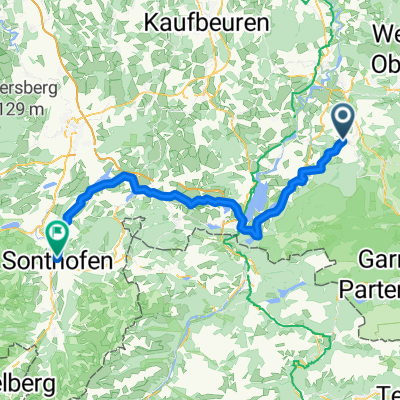 Wildsteig - Sonthofen
- Distance
- 82.8 km
- Ascent
- 950 m
- Descent
- 1,086 m
- Location
- Wildsteig, Bavaria, Germany
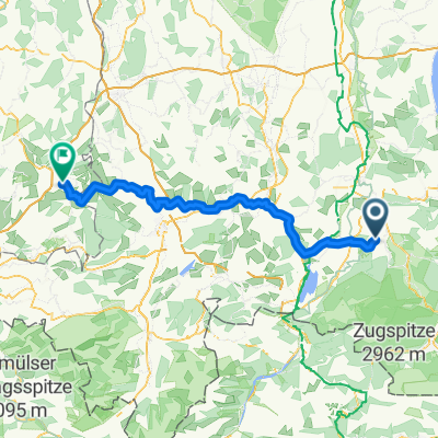
 2.Tag Kirchbergstraße, Wildsteig nach Via Claudia, Denklingen
- Distance
- 43.4 km
- Ascent
- 465 m
- Descent
- 696 m
- Location
- Wildsteig, Bavaria, Germany
 Bodensee Königssee Radweg
- Distance
- 189 km
- Ascent
- 2,448 m
- Descent
- 2,720 m
- Location
- Wildsteig, Bavaria, Germany
 Winterwanderung - Geizenmoos
- Distance
- 12.8 km
- Ascent
- 124 m
- Descent
- 125 m
- Location
- Wildsteig, Bavaria, Germany
 Planseerunde
- Distance
- 108.1 km
- Ascent
- 549 m
- Descent
- 546 m
- Location
- Wildsteig, Bavaria, Germany
Open it in the app