


VTT 182 - Sommiers
- 25.2 km
- 491 m
- 491 m
- Calvisson, Occitanie, France
A cycling route starting in Calvisson, Occitanie, France.
Overview
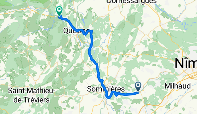
A first day winding through wooded hills, immersed in an agricultural mosaic of vineyards, olive groves and cereals, with the foothills of the Cévennes in the background. The departure is very gentle on the voie verte laid out on the former Nîmes - Le Vigan railway line, heading toward Sommières. At Junas we make a small detour to visit the magnificent site of the ancient Bon Temps quarries, named after the combe that shelters them. These quarries remained in operation, with unchanged extraction methods, from Gallo-Roman times until the mid-20th century. The blocks were used to build the Pont Tibère in Sommières, then in Aigues-Mortes and Le Vigan. The site provides the setting for numerous events, including the Junas jazz festival in July. Arriving in Sommières, we encounter the Vidourle river for the first time and the famous Pont Tibère, built on 20 arches of which 7 are still visible, the others having been absorbed into the town's construction, which explains the many floods caused by this capricious river. The rest of the route alternates between tracks, little-trafficked minor roads and the voie verte. After passing through the larger village of Quissac, we reach the beautiful medieval (and artistic!) village of Sauve. The Vidourle, underground for several kilometres upstream, has the good sense to reappear here to bathe the feet of the town. If we feel like it, we can finish the day with a short walk on the paths through the block-chaos of the 'Mer de rochers', a unique site located above the village. - 1-Calvisson - Sauve
created this 3 months ago
Continue with Bikemap
You would like to ride Calvisson - Sauve - 1-Calvisson - Sauve or customize it for your own trip? Here is what you can do with this Bikemap route:
Free trial for 3 days, or one-time payment. More about Bikemap Premium.
Discover more Premium features.
Get Bikemap PremiumFrom our community
Open it in the app


