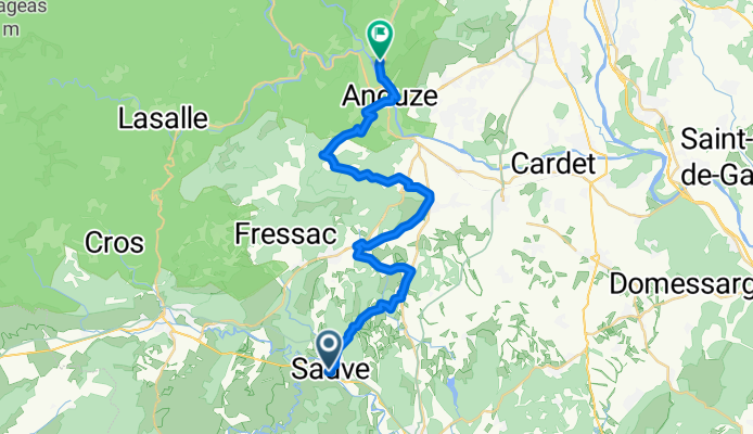

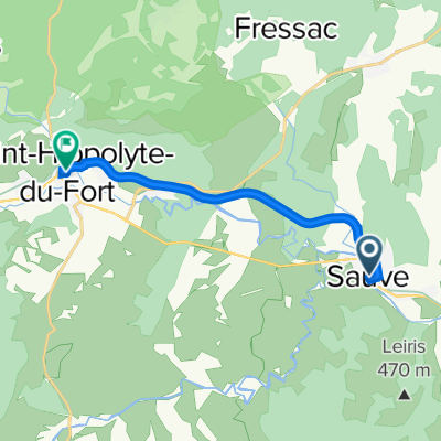
Voie Verte Sauve / Saint Hippolyte du Fort
- 9.9 km
- 142 m
- 64 m
- Sauve, Occitanie, France
A cycling route starting in Sauve, Occitanie, France.
Overview
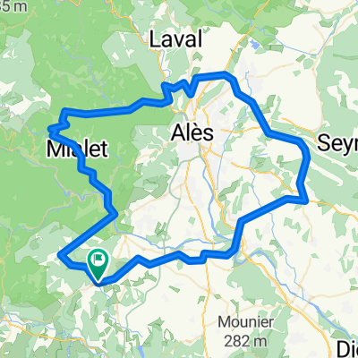
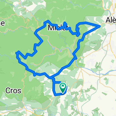
Today, heading towards Anduze, nicknamed 'the gateway to the Cévennes'. We leave Sauve via the small road of Villeseque, and dive into the garrigue. Along the way, we pass right by the garrigue donkey farm, specialized in cosmetics made from donkey milk. With the Cévennes in front of us, we cycle along hidden routes passing charming hamlets, amidst vineyards, oak and pine forests, or wheat fields. We reach the heights of Anduze, from where all that remains is to glide down to the charming historic town center with its narrow medieval streets. The main square is lively with its cafés and restaurant terraces. Near the Gardon, we discover the clock tower, the only element of the ramparts spared by Richelieu when he ordered the destruction of the kingdom’s Protestant strongholds. We then make a round trip to the famous Bambouseraie to visit this fantastic exotic garden unique in Europe which, through bamboo, takes its visitors from Japan to Laos via the United States. We then head to our accommodation located around Anduze. - 1-Sauve - Anduze
created this 3 months ago
Continue with Bikemap
You would like to ride Sauve - Anduze - 1-Sauve - Anduze or customize it for your own trip? Here is what you can do with this Bikemap route:
Free trial for 3 days, or one-time payment. More about Bikemap Premium.
Discover more Premium features.
Get Bikemap PremiumFrom our community
Open it in the app