
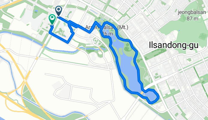
느린 주행
A cycling route starting in Goyang-si, Gyeonggi-do, South Korea.
Overview
About this route
- 43 min
- Duration
- 7.9 km
- Distance
- 35 m
- Ascent
- 59 m
- Descent
- 11.1 km/h
- Avg. speed
- 37 m
- Max. altitude

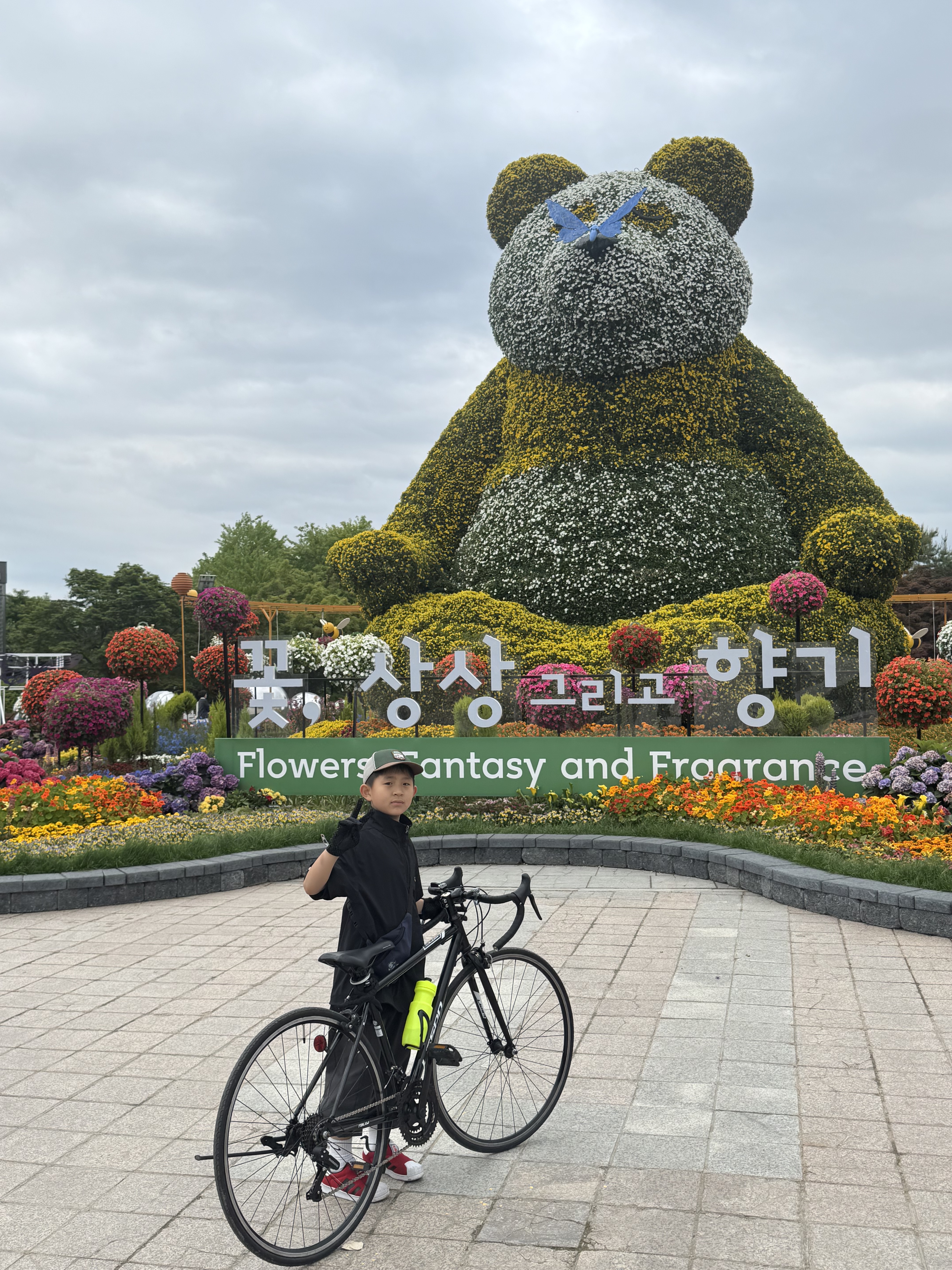
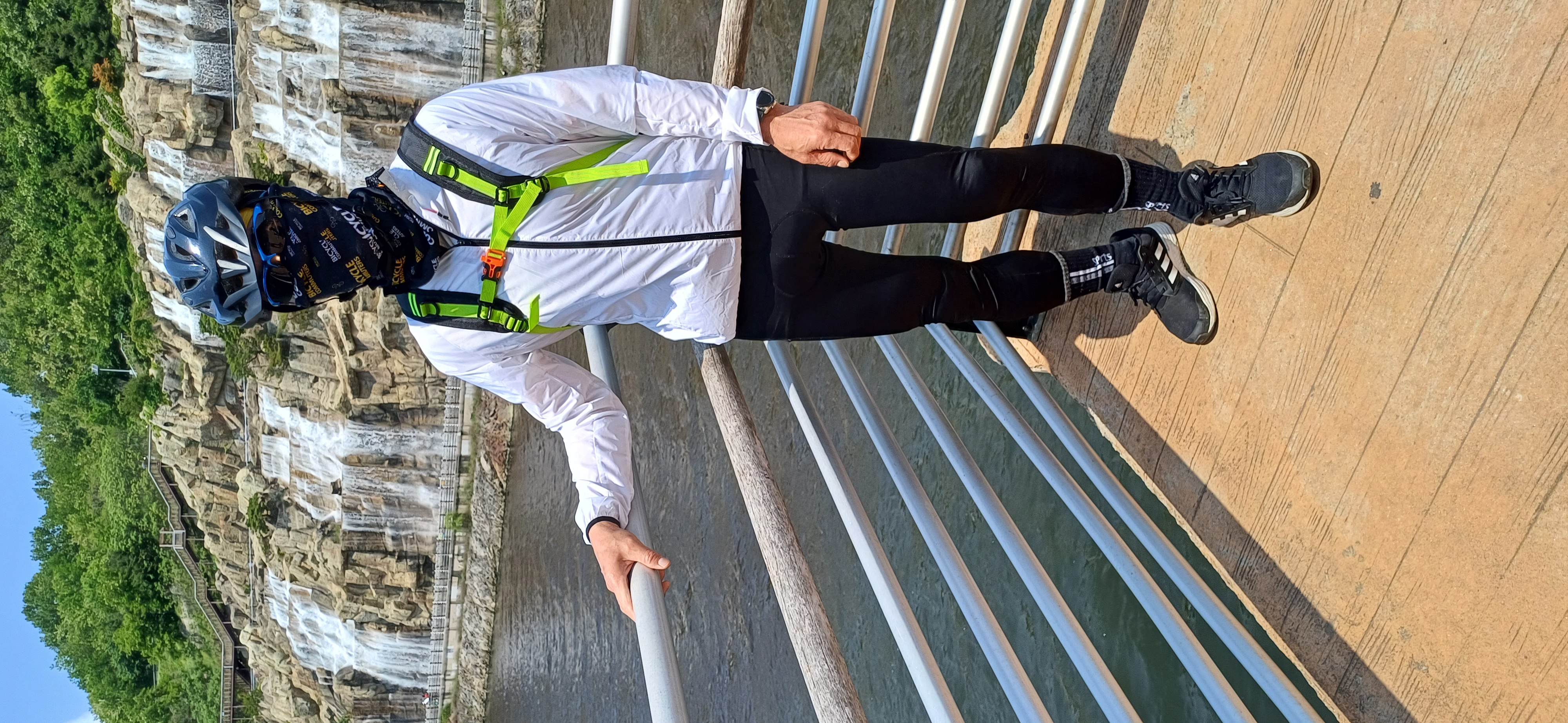
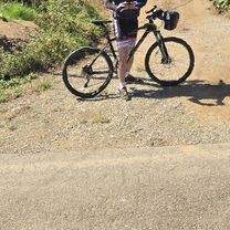
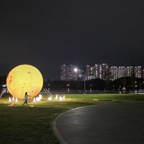
Route photos


Continue with Bikemap
Use, edit, or download this cycling route
You would like to ride 느린 주행 or customize it for your own trip? Here is what you can do with this Bikemap route:
Free features
- Save this route as favorite or in collections
- Copy & plan your own version of this route
- Sync your route with Garmin or Wahoo
Premium features
Free trial for 3 days, or one-time payment. More about Bikemap Premium.
- Navigate this route on iOS & Android
- Export a GPX / KML file of this route
- Create your custom printout (try it for free)
- Download this route for offline navigation
Discover more Premium features.
Get Bikemap PremiumFrom our community
Other popular routes starting in Goyang-si
 지축동, 고양시에서 고양동, 고양시까지
- Distance
- 10.6 km
- Ascent
- 117 m
- Descent
- 86 m
- Location
- Goyang-si, Gyeonggi-do, South Korea
 흥도로70번길, 고양시에서 행신동, 고양시까지
- Distance
- 30.9 km
- Ascent
- 196 m
- Descent
- 184 m
- Location
- Goyang-si, Gyeonggi-do, South Korea
 안정적인 라이딩
- Distance
- 40.8 km
- Ascent
- 89 m
- Descent
- 116 m
- Location
- Goyang-si, Gyeonggi-do, South Korea
 고촌읍 844, 김포시 to 고촌읍 92−161, 김포시
- Distance
- 36.4 km
- Ascent
- 156 m
- Descent
- 153 m
- Location
- Goyang-si, Gyeonggi-do, South Korea
 13-21 13-21 ~ 문산읍 1254-2
- Distance
- 42.5 km
- Ascent
- 144 m
- Descent
- 176 m
- Location
- Goyang-si, Gyeonggi-do, South Korea
 217-23 217-23 ~ 217-23 217-23
- Distance
- 14.9 km
- Ascent
- 316 m
- Descent
- 378 m
- Location
- Goyang-si, Gyeonggi-do, South Korea
 마곡동 7-23 ~ 내발산동 761-1
- Distance
- 37.8 km
- Ascent
- 44 m
- Descent
- 60 m
- Location
- Goyang-si, Gyeonggi-do, South Korea
 삼송동 18−10, 고양시 to 삼송동 20−27, 고양시
- Distance
- 74.1 km
- Ascent
- 445 m
- Descent
- 445 m
- Location
- Goyang-si, Gyeonggi-do, South Korea
Open it in the app