

Table mountain upper stevens
- 24.7 km
- 1,013 m
- 490 m
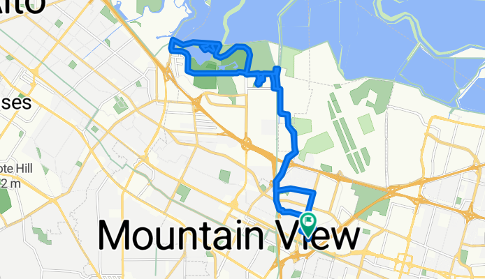
- Mountain View, California, United States
A cycling route starting in Mountain View, California, United States.
Overview
created this 8 months ago


Route quality
Cycleway
8 km
37 %
Access road
4.1 km
19 %
Paved
16.5 km
(76 %)
Asphalt
13.5 km
62 %
Concrete
1.7 km
8 %
Continue with Bikemap
You would like to ride Nicholas Dr, Mountain View to Nicholas Dr, Mountain View or customize it for your own trip? Here is what you can do with this Bikemap route:
Free trial for 3 days, or one-time payment. More about Bikemap Premium.
Discover more Premium features.
Get Bikemap PremiumFrom our community
Open it in the app


