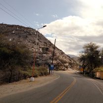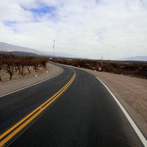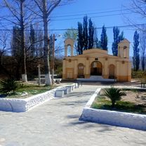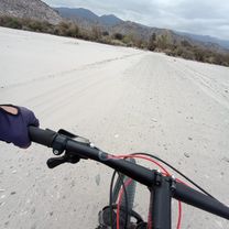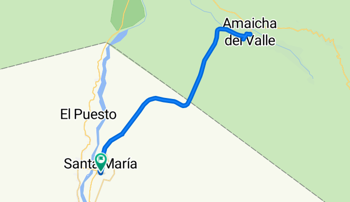

quebrada de jujuil
- 19.2 km
- 112 m
- 149 m
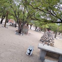
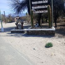
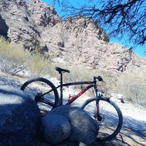
- Santa María, Catamarca Province, Argentina
A cycling route starting in Santa María, Catamarca Province, Argentina.
Overview
created this 3 months ago


Route quality
Quiet road
5.7 km
(13 %)
Undefined
38.2 km
(87 %)
Paved
41.7 km
(95 %)
Unpaved
0.9 km
(2 %)
Asphalt
41.3 km
(94 %)
Gravel
0.9 km
(2 %)
Continue with Bikemap
You would like to ride Amaicha del Valle or customize it for your own trip? Here is what you can do with this Bikemap route:
Free trial for 3 days, or one-time payment. More about Bikemap Premium.
Discover more Premium features.
Get Bikemap PremiumFrom our community
Open it in the app