Overview
About this route
- 43 min
- Duration
- 5 km
- Distance
- 56 m
- Ascent
- 17 m
- Descent
- 7 km/h
- Avg. speed
- 77 m
- Max. altitude
Part of
Kyoto ride
3 stages
Route quality
Waytypes & surfaces along the route
Waytypes
Quiet road
3.4 km
(67 %)
Pedestrian area
0.9 km
(18 %)
Surfaces
Paved
2.7 km
(53 %)
Asphalt
2.2 km
(43 %)
Concrete
0.5 km
(10 %)
Undefined
2.4 km
(47 %)
Continue with Bikemap
Use, edit, or download this cycling route
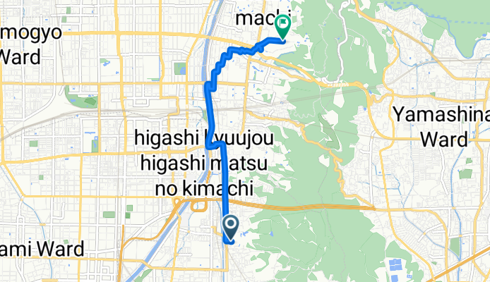
You would like to ride Fushimi Inari Taisha to Kiyomizu-dera or customize it for your own trip? Here is what you can do with this Bikemap route:
Free features
- Save this route as favorite or in collections
- Copy & plan your own version of this route
- Sync your route with Garmin or Wahoo
Premium features
Free trial for 3 days, or one-time payment. More about Bikemap Premium.
- Navigate this route on iOS & Android
- Export a GPX / KML file of this route
- Create your custom printout (try it for free)
- Download this route for offline navigation
Discover more Premium features.
Get Bikemap PremiumFrom our community
Other popular routes starting in Mukō
桂川~さくらであい館- Distance
- 14.9 km
- Ascent
- 52 m
- Descent
- 69 m
- Location
- Mukō, Kyoto, Japan
Day 598- Distance
- 62.6 km
- Ascent
- 116 m
- Descent
- 73 m
- Location
- Mukō, Kyoto, Japan
35.010, 135.682 a 34.994, 135.759- Distance
- 10.5 km
- Ascent
- 45 m
- Descent
- 56 m
- Location
- Mukō, Kyoto, Japan
Kyoto bike route 2- Distance
- 23 km
- Ascent
- 223 m
- Descent
- 248 m
- Location
- Mukō, Kyoto, Japan
京都市 まで27−13- Distance
- 7 km
- Ascent
- 35 m
- Descent
- 74 m
- Location
- Mukō, Kyoto, Japan
Route in Osaka- Distance
- 9.6 km
- Ascent
- 32 m
- Descent
- 51 m
- Location
- Mukō, Kyoto, Japan
27−13 まで27−13- Distance
- 13.7 km
- Ascent
- 35 m
- Descent
- 78 m
- Location
- Mukō, Kyoto, Japan
Fushimi Inari Taisha to Kiyomizu-dera- Distance
- 5 km
- Ascent
- 56 m
- Descent
- 17 m
- Location
- Mukō, Kyoto, Japan
Open it in the app


