Chemin de la Carravane, Saint-Antonin-du-Var 脿 Rue Victor Hugo, Salernes
A cycling route starting in Lorgues, Provence-Alpes-C么te d'Azur Region, France.
Overview
About this route
- 34 min
- Duration
- 9.5 km
- Distance
- 190 m
- Ascent
- 156 m
- Descent
- 16.8 km/h
- Avg. speed
- 265 m
- Max. altitude
Route quality
Waytypes & surfaces along the route
Waytypes
Quiet road
4.2 km
(44 %)
Track
1.9 km
(20 %)
Surfaces
Paved
6.4 km
(67 %)
Asphalt
6.4 km
(67 %)
Undefined
3.1 km
(33 %)
Continue with Bikemap
Use, edit, or download this cycling route
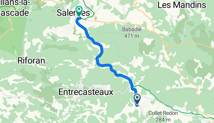
You would like to ride Chemin de la Carravane, Saint-Antonin-du-Var 脿 Rue Victor Hugo, Salernes or customize it for your own trip? Here is what you can do with this Bikemap route:
Free features
- Save this route as favorite or in collections
- Copy & plan your own version of this route
- Sync your route with Garmin or Wahoo
Premium features
Free trial for 3 days, or one-time payment. More about Bikemap Premium.
- Navigate this route on iOS & Android
- Export a GPX / KML file of this route
- Create your custom printout (try it for free)
- Download this route for offline navigation
Discover more Premium features.
Get Bikemap PremiumFrom our community
Other popular routes starting in Lorgues
Rute 5 Lorgues- Distance
- 39.9 km
- Ascent
- 334 m
- Descent
- 334 m
- Location
- Lorgues, Provence-Alpes-C么te d'Azur Region, France
Dag 6, Lorgues- Distance
- 50.4 km
- Ascent
- 478 m
- Descent
- 478 m
- Location
- Lorgues, Provence-Alpes-C么te d'Azur Region, France
Rute 5- Distance
- 37.8 km
- Ascent
- 334 m
- Descent
- 334 m
- Location
- Lorgues, Provence-Alpes-C么te d'Azur Region, France
Tur 3, Lorgues- Distance
- 62.5 km
- Ascent
- 588 m
- Descent
- 587 m
- Location
- Lorgues, Provence-Alpes-C么te d'Azur Region, France
Lorgues-Grimaud und zur眉ck- Distance
- 87.4 km
- Ascent
- 948 m
- Descent
- 959 m
- Location
- Lorgues, Provence-Alpes-C么te d'Azur Region, France
Lorgues - Salernes- Distance
- 15.8 km
- Ascent
- 140 m
- Descent
- 122 m
- Location
- Lorgues, Provence-Alpes-C么te d'Azur Region, France
Lorgues-Flayosc-Tourtour-Lorgues- Distance
- 34.9 km
- Ascent
- 754 m
- Descent
- 754 m
- Location
- Lorgues, Provence-Alpes-C么te d'Azur Region, France
Rute 4, Lorgues- Distance
- 52.9 km
- Ascent
- 553 m
- Descent
- 554 m
- Location
- Lorgues, Provence-Alpes-C么te d'Azur Region, France
Open it in the app

