
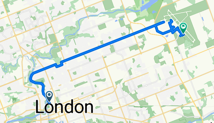
Kent St, London to Seabrook Way, London
A cycling route starting in London, Ontario, Canada.
Overview
About this route
- 4 h 21 min
- Duration
- 22.6 km
- Distance
- 79 m
- Ascent
- 53 m
- Descent
- 5.2 km/h
- Avg. speed
- 284 m
- Max. altitude
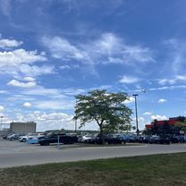
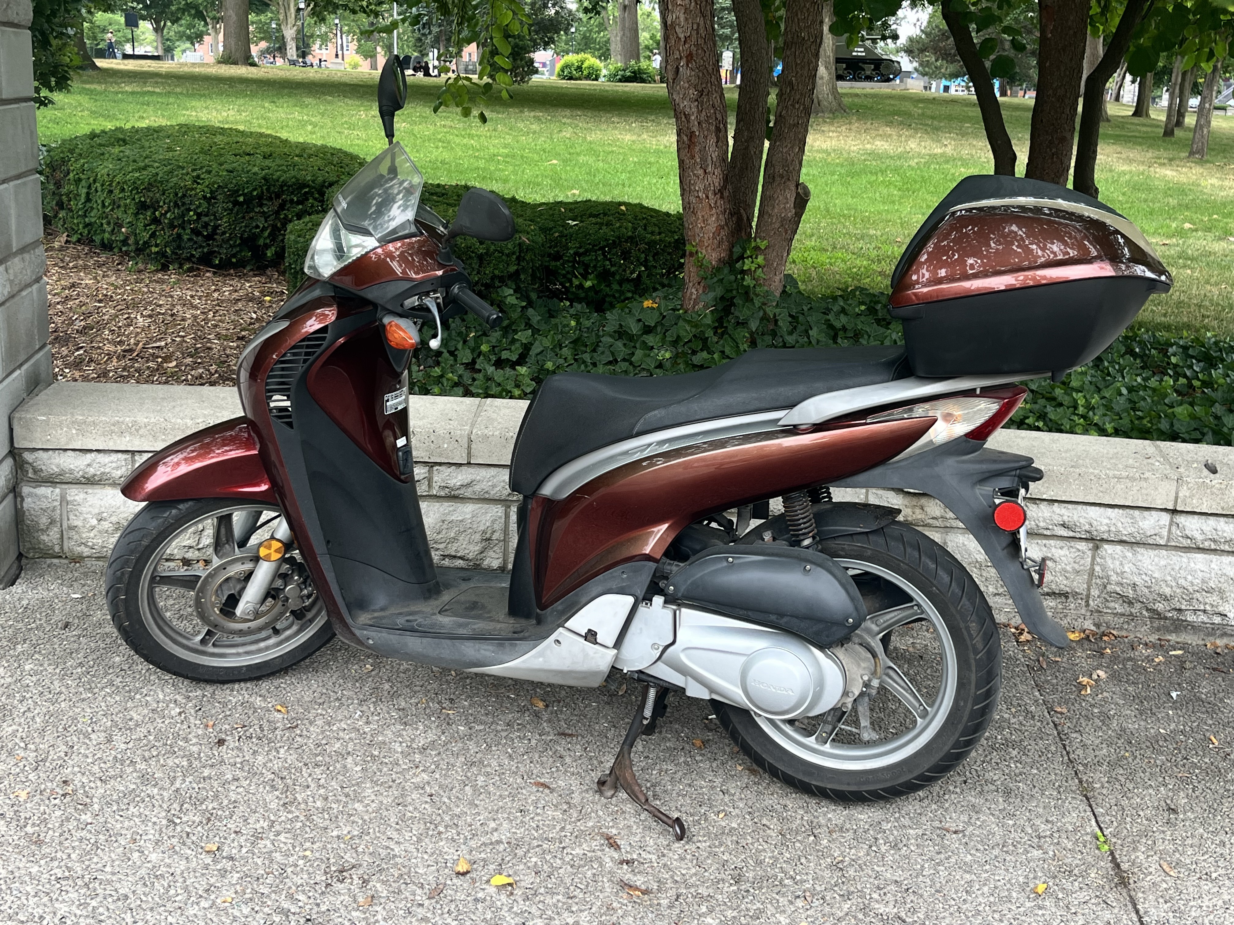
Route photos


Continue with Bikemap
Use, edit, or download this cycling route
You would like to ride Kent St, London to Seabrook Way, London or customize it for your own trip? Here is what you can do with this Bikemap route:
Free features
- Save this route as favorite or in collections
- Copy & plan your own version of this route
- Sync your route with Garmin or Wahoo
Premium features
Free trial for 3 days, or one-time payment. More about Bikemap Premium.
- Navigate this route on iOS & Android
- Export a GPX / KML file of this route
- Create your custom printout (try it for free)
- Download this route for offline navigation
Discover more Premium features.
Get Bikemap PremiumFrom our community
Other popular routes starting in London
 Kent St, London to Seabrook Way, London
- Distance
- 22.6 km
- Ascent
- 79 m
- Descent
- 53 m
- Location
- London, Ontario, Canada
 Talbot St, London to Central Ave, London
- Distance
- 54.5 km
- Ascent
- 241 m
- Descent
- 241 m
- Location
- London, Ontario, Canada
 2020 PwC MS Bike Grand Bend to London Day 2
- Distance
- 69.2 km
- Ascent
- 179 m
- Descent
- 236 m
- Location
- London, Ontario, Canada
 Masonville Ride
- Distance
- 22.4 km
- Ascent
- 82 m
- Descent
- 83 m
- Location
- London, Ontario, Canada
 fern bel beach tvp rid
- Distance
- 14.3 km
- Ascent
- 616 m
- Descent
- 607 m
- Location
- London, Ontario, Canada
 Adelaide Street North 470, London to Adelaide Street North 466, London
- Distance
- 11.3 km
- Ascent
- 11 m
- Descent
- 11 m
- Location
- London, Ontario, Canada
 London - Port Stanley
- Distance
- 93.7 km
- Ascent
- 177 m
- Descent
- 177 m
- Location
- London, Ontario, Canada
 43 Moffat Cres, London to 1678 Dale St, London
- Distance
- 34.5 km
- Ascent
- 116 m
- Descent
- 107 m
- Location
- London, Ontario, Canada
Open it in the app