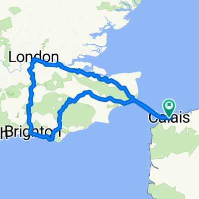
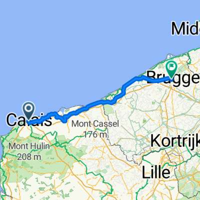
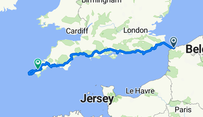
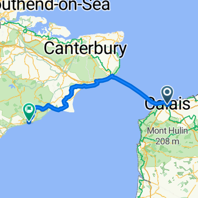
Von Calais bis Saint Ives
A cycling route starting in Calais, Hauts-de-France, France.
Overview
About this route
- 55 h 55 min
- Duration
- 921.6 km
- Distance
- 8,839 m
- Ascent
- 8,714 m
- Descent
- 16.5 km/h
- Avg. speed
- 249 m
- Max. altitude
Route quality
Waytypes & surfaces along the route
Waytypes
Quiet road
423.9 km
(46 %)
Cycleway
267.3 km
(29 %)
Surfaces
Paved
488.4 km
(53 %)
Unpaved
27.6 km
(3 %)
Asphalt
470 km
(51 %)
Gravel
18.4 km
(2 %)
Continue with Bikemap
Use, edit, or download this cycling route
You would like to ride Von Calais bis Saint Ives or customize it for your own trip? Here is what you can do with this Bikemap route:
Free features
- Save this route as favorite or in collections
- Copy & plan your own version of this route
- Split it into stages to create a multi-day tour
- Sync your route with Garmin or Wahoo
Premium features
Free trial for 3 days, or one-time payment. More about Bikemap Premium.
- Navigate this route on iOS & Android
- Export a GPX / KML file of this route
- Create your custom printout (try it for free)
- Download this route for offline navigation
Discover more Premium features.
Get Bikemap PremiumFrom our community
Other popular routes starting in Calais
Calais - Berck- Distance
- 101.1 km
- Ascent
- 733 m
- Descent
- 736 m
- Location
- Calais, Hauts-de-France, France
Day 1 - Calais to Arras- Distance
- 132.8 km
- Ascent
- 446 m
- Descent
- 381 m
- Location
- Calais, Hauts-de-France, France
Boulevard des Alliés, Calais to Hoefijzerlaan, Bruges- Distance
- 129.1 km
- Ascent
- 118 m
- Descent
- 121 m
- Location
- Calais, Hauts-de-France, France
Calais to Dunkirk to Poperinge- Distance
- 80.3 km
- Ascent
- 68 m
- Descent
- 52 m
- Location
- Calais, Hauts-de-France, France
Alpe d’Huez Trip- Distance
- 1,072.3 km
- Ascent
- 7,329 m
- Descent
- 5,556 m
- Location
- Calais, Hauts-de-France, France
Calais nach Veurne- Distance
- 79.8 km
- Ascent
- 44 m
- Descent
- 44 m
- Location
- Calais, Hauts-de-France, France
Critérium de Calais- Distance
- 30.1 km
- Ascent
- 191 m
- Descent
- 191 m
- Location
- Calais, Hauts-de-France, France
Calais to Pauwel Heinderycxstraat, Veurne- Distance
- 77.3 km
- Ascent
- 45 m
- Descent
- 52 m
- Location
- Calais, Hauts-de-France, France
Open it in the app

