Petit Salève (Montée difficile)
- 10.1 km
- 512 m
- 513 m
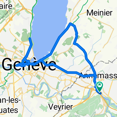
- Étrembières, Auvergne-Rhône-Alpes, France
A cycling route starting in Étrembières, Auvergne-Rhône-Alpes, France.
Overview
Cycle tour between 19 and 29 July, 2012, beginning and ending in Gaillard, France.
Route shown stops at Saignelegier, Switzerland. For route details after that, see Swiss National Route 7 from Saignelegier to Travers. Then, Swiss Regional route 54 to Yverdon. Then Swiss National route 5 to Lausanne and then Swiss National Route 1 to Geneva and Gaillard.
created this 13 years ago
Route quality
Road
74.9 km
(27 %)
Quiet road
16.6 km
(6 %)
Paved
177.5 km
(64 %)
Asphalt
172 km
(62 %)
Paved (undefined)
5.5 km
(2 %)
Undefined
99.8 km
(36 %)
Continue with Bikemap
You would like to ride Gaillard-Bellegarde-St. Claude-Mouthe-Morteau-Gaumois-Les Chaux des Fonds-Grandson-Lausanne-Gaillard or customize it for your own trip? Here is what you can do with this Bikemap route:
Free trial for 3 days, or one-time payment. More about Bikemap Premium.
Discover more Premium features.
Get Bikemap PremiumFrom our community
Open it in the app