
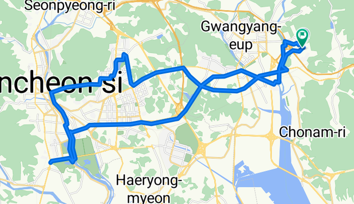
광양읍-순천제일대-호수공원
A cycling route starting in Kwangyang, Jeollanam-do, South Korea.
Overview
About this route
- 2 h 29 min
- Duration
- 36 km
- Distance
- 293 m
- Ascent
- 329 m
- Descent
- 14.5 km/h
- Avg. speed
- 74 m
- Max. altitude

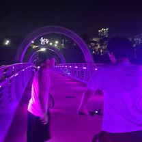
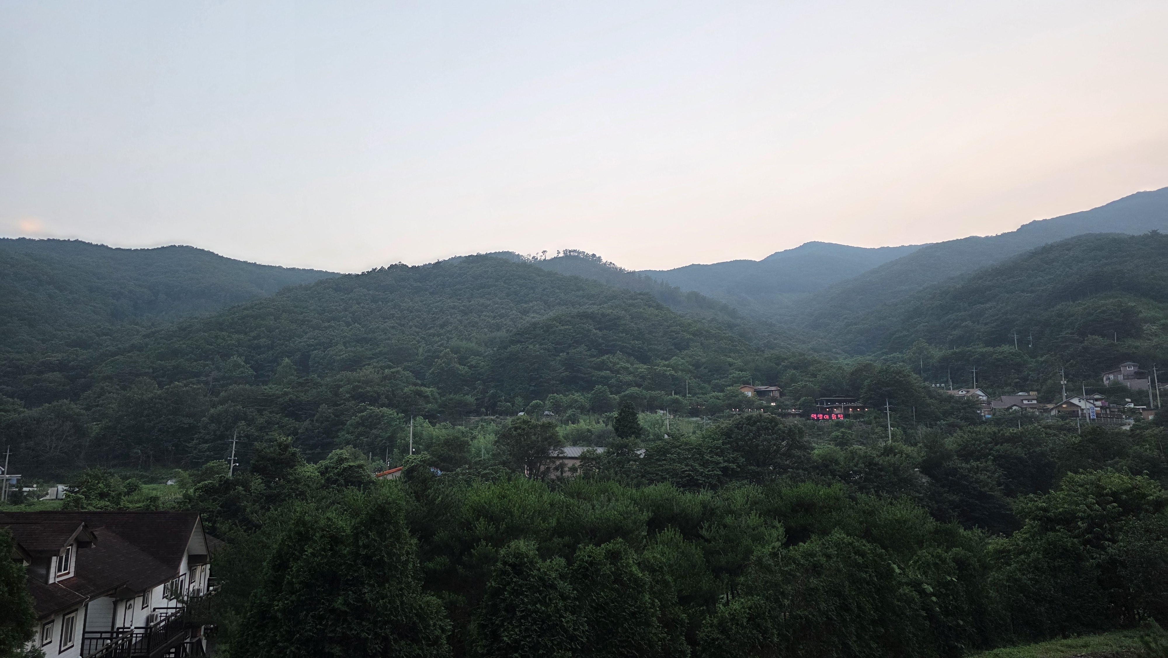
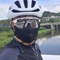
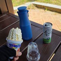
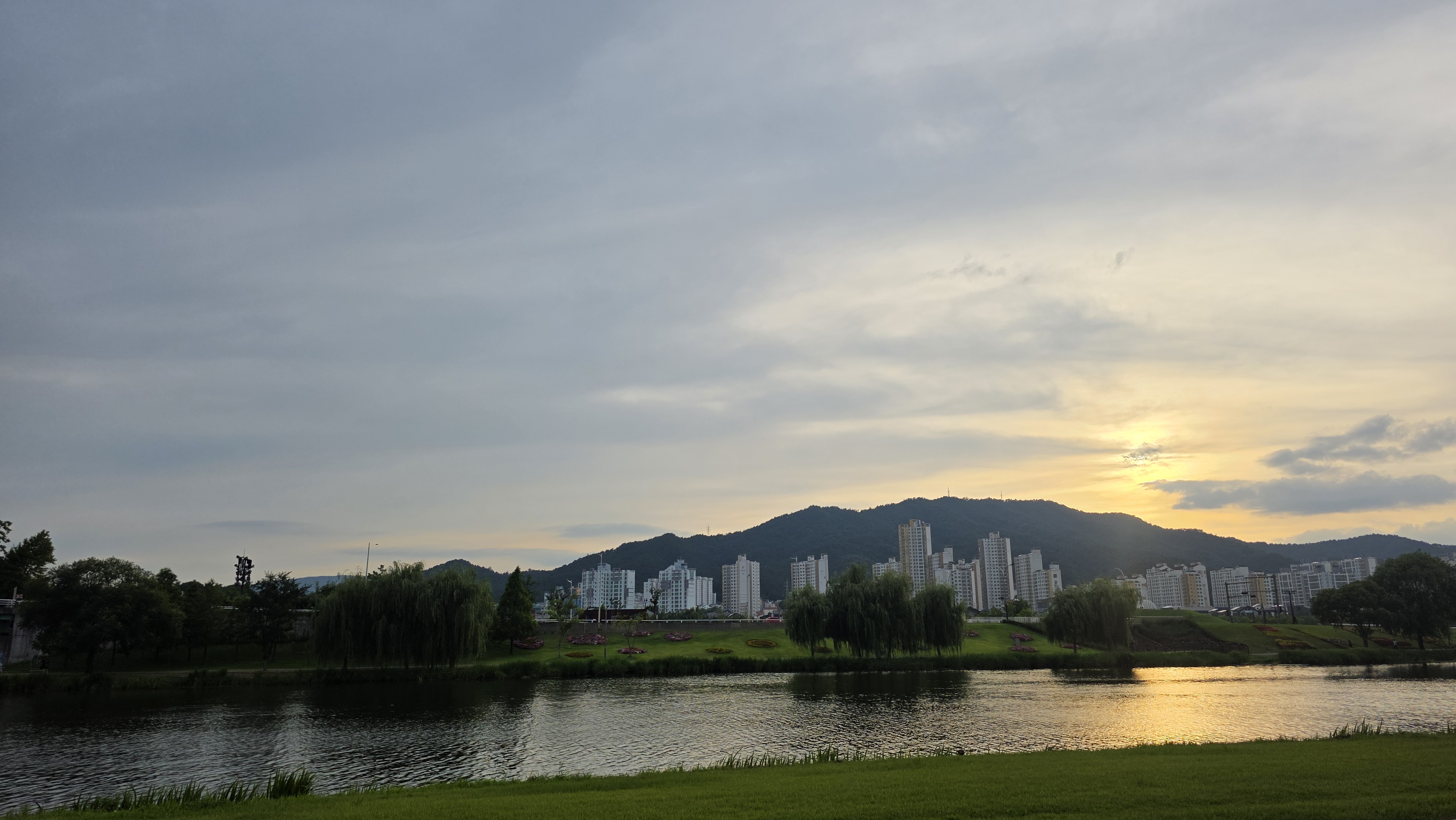
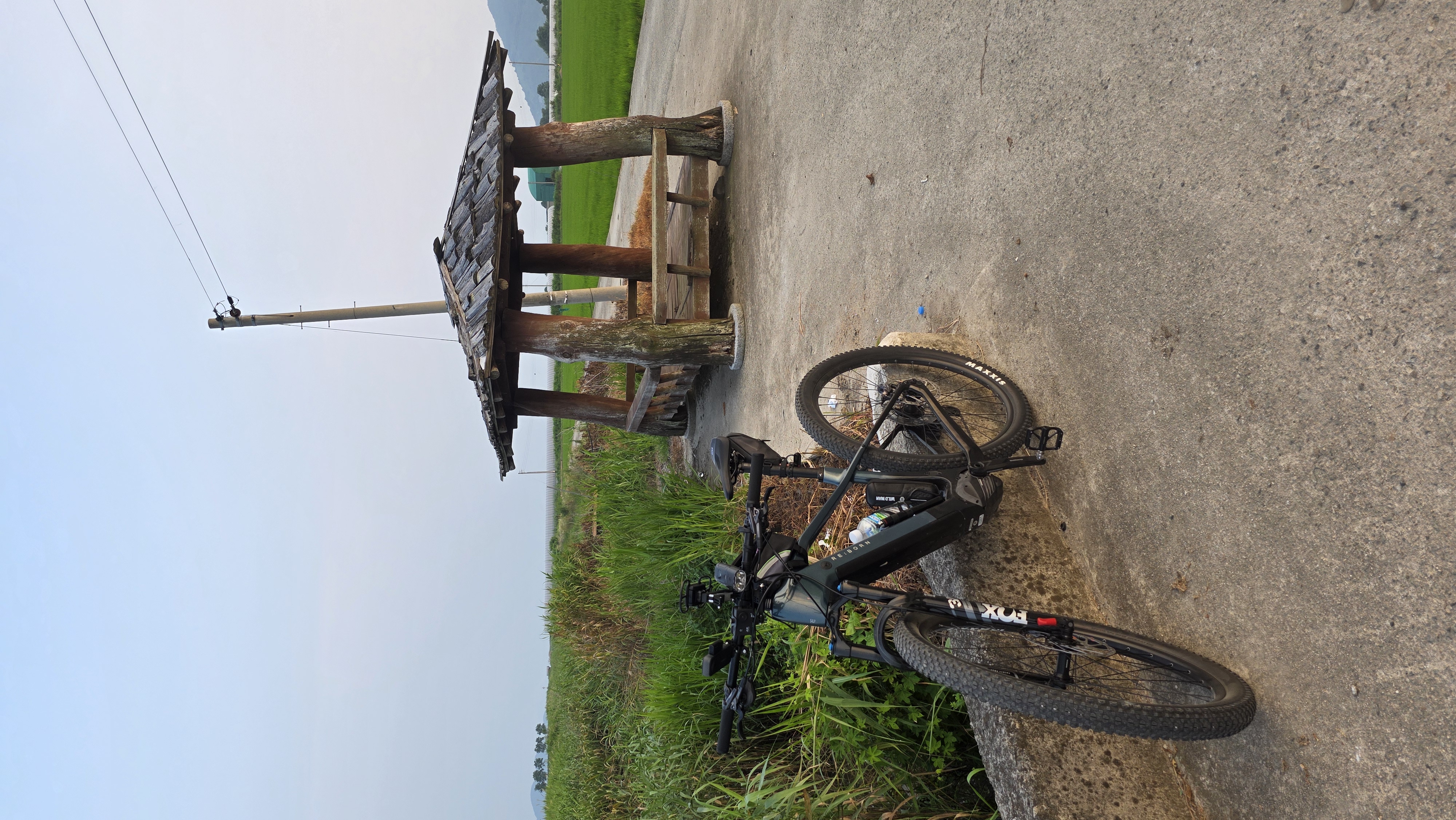
Route photos


Continue with Bikemap
Use, edit, or download this cycling route
You would like to ride 광양읍-순천제일대-호수공원 or customize it for your own trip? Here is what you can do with this Bikemap route:
Free features
- Save this route as favorite or in collections
- Copy & plan your own version of this route
- Sync your route with Garmin or Wahoo
Premium features
Free trial for 3 days, or one-time payment. More about Bikemap Premium.
- Navigate this route on iOS & Android
- Export a GPX / KML file of this route
- Create your custom printout (try it for free)
- Download this route for offline navigation
Discover more Premium features.
Get Bikemap PremiumFrom our community
Other popular routes starting in Kwangyang
 마동,제철,해양공원,황금 신연호,고넝빈
- Distance
- 20.3 km
- Ascent
- 94 m
- Descent
- 127 m
- Location
- Kwangyang, Jeollanam-do, South Korea
 옥룡면 ~ 광양읍
- Distance
- 28.8 km
- Ascent
- 389 m
- Descent
- 350 m
- Location
- Kwangyang, Jeollanam-do, South Korea
 광양읍-순천제일대-호수공원
- Distance
- 36 km
- Ascent
- 293 m
- Descent
- 329 m
- Location
- Kwangyang, Jeollanam-do, South Korea
 광양읍 상사호
- Distance
- 57.6 km
- Ascent
- 603 m
- Descent
- 579 m
- Location
- Kwangyang, Jeollanam-do, South Korea
 느린 주행
느린 주행- Distance
- 40.4 km
- Ascent
- 361 m
- Descent
- 393 m
- Location
- Kwangyang, Jeollanam-do, South Korea
 광양역-망덕포구-하동역 Gwang yang station-Mangdeok port-Hadong station 光陽站-望德浦口-河東站
- Distance
- 46.6 km
- Ascent
- 978 m
- Descent
- 977 m
- Location
- Kwangyang, Jeollanam-do, South Korea
 광양읍 ~ 광양읍
- Distance
- 74.4 km
- Ascent
- 386 m
- Descent
- 368 m
- Location
- Kwangyang, Jeollanam-do, South Korea
 Gwangyangeup Yonggangri - Gokseongeup
- Distance
- 58.8 km
- Ascent
- 752 m
- Descent
- 716 m
- Location
- Kwangyang, Jeollanam-do, South Korea
Open it in the app