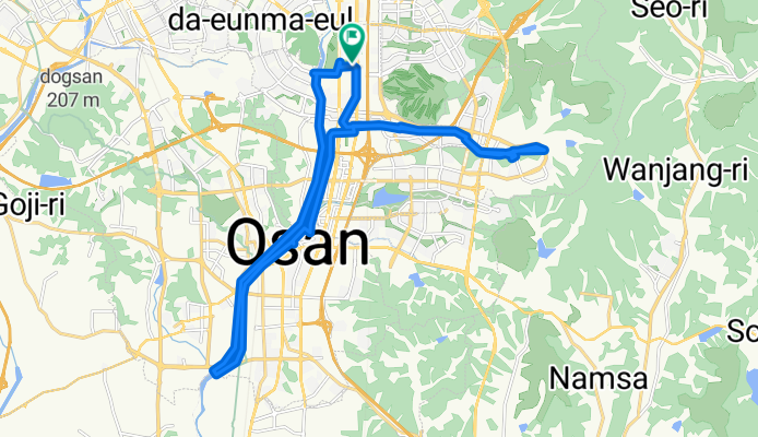
393-20 393-20 ~ μ€μ°λ
A cycling route starting in Osan, Gyeonggi-do, South Korea.
Overview
About this route
- 2 h 23 min
- Duration
- 29.7 km
- Distance
- 176 m
- Ascent
- 153 m
- Descent
- 12.4 km/h
- Avg. speed
- 93 m
- Max. altitude
Route photos
Continue with Bikemap
Use, edit, or download this cycling route
You would like to ride 393-20 393-20 ~ μ€μ°λ or customize it for your own trip? Here is what you can do with this Bikemap route:
Free features
- Save this route as favorite or in collections
- Copy & plan your own version of this route
- Sync your route with Garmin or Wahoo
Premium features
Free trial for 3 days, or one-time payment. More about Bikemap Premium.
- Navigate this route on iOS & Android
- Export a GPX / KML file of this route
- Create your custom printout (try it for free)
- Download this route for offline navigation
Discover more Premium features.
Get Bikemap PremiumFrom our community
Other popular routes starting in Osan
μ‘νλ οΌοΌοΌβοΌ, ννμ to μ‘νλ οΌοΌοΌβοΌ, ννμ- Distance
- 23 km
- Ascent
- 236 m
- Descent
- 250 m
- Location
- Osan, Gyeonggi-do, South Korea
From Songtan to the lake and back.- Distance
- 32.5 km
- Ascent
- 60 m
- Descent
- 60 m
- Location
- Osan, Gyeonggi-do, South Korea
songtan station- Distance
- 11.1 km
- Ascent
- 8 m
- Descent
- 0 m
- Location
- Osan, Gyeonggi-do, South Korea
Route to λνλ©΄ οΌβοΌ, νμ±μ- Distance
- 7.8 km
- Ascent
- 55 m
- Descent
- 34 m
- Location
- Osan, Gyeonggi-do, South Korea
λνλ©΄ οΌβοΌ, νμ±μ to λνλ©΄ οΌβοΌ, νμ±μ- Distance
- 16.2 km
- Ascent
- 185 m
- Descent
- 127 m
- Location
- Osan, Gyeonggi-do, South Korea
μ€μ°λ ~ μ€μ°λ- Distance
- 42.7 km
- Ascent
- 259 m
- Descent
- 284 m
- Location
- Osan, Gyeonggi-do, South Korea
393-20 393-20 ~ μ€μ°λ- Distance
- 29.7 km
- Ascent
- 176 m
- Descent
- 153 m
- Location
- Osan, Gyeonggi-do, South Korea
ν¨μ μΉ΄λγ·γ·γ·γ·- Distance
- 18.2 km
- Ascent
- 246 m
- Descent
- 255 m
- Location
- Osan, Gyeonggi-do, South Korea
Open it in the app


